Services
Our Full Range of Services
Explore our comprehensive range of GIS and GNSS solutions designed to enhance the efficiency and precision of your operations. We’ve provided custom solutions for agriculture, environmental monitoring, golf courses, utilities, and more. We’re uniquely outfitted to quickly solve your needs, even if we have to build it ourselves.
Whether you need software installed on-premise, available in the cloud, or hosted on our own internal servers, we’ve got you covered. Our manufacturing team can quickly spin up new products for your toolkit, and our GNSS experts are easily reachable to support any field issues you have.
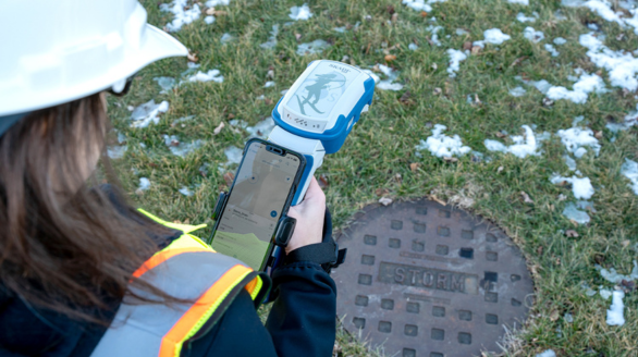
GNSS Receivers & Accessories
We sell proven RTK receivers, cables, antennas, drones, and anything else you need to completely outfit your teams for success in the field.
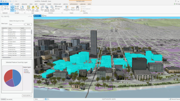
GIS Software & Tools
Explore our curated selection of GIS software and tools, equipping you with the powerful applications needed to analyze, visualize, and manage your spatial data effectively.

GIS Consulting
Leverage our GIS consulting to unlock the full power of spatial data, transforming complex information into clear, actionable insights for smarter decisions and optimized operations.
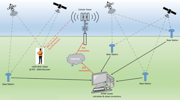
RTK: Base Stations & Managed Networks
Beyond offering RTK base stations, we provide a complete, managed network solution, ensuring you receive reliable corrections without any operational burden.
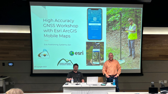
Workshops
We offer instructional workshops and webinars designed to empower your team. Our sessions dive into practical information on using RTK receivers, ESRI tools, and best practices for field users, ensuring your crew is always at the top of their game.
Drone Mapping
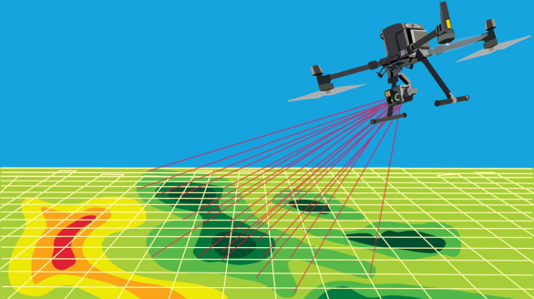
Let our drone experts fly, map, and produce high quality maps for you. We have proven results delivering actionable terrain maps. We can train your team, whether your collecting water samples or 3D maps.
