
Services
GNSS hardware, corrections, data collection software, and training that work together on day one—configured, installed, and supported by the our team.
We take pride in the level of service we deliver
Digital Mapping Group has been a trusted high-accuracy GNSS partner for 25 years. We are a combination of GNSS experts, software developers, and hardware engineers which means we can solve most problems ourselves—and can design/build what does not exist.
What every engagement includes
✓ An expert recommendation based on your accuracy requirements and workflows
✓ Kits configured and tested before they ship
✓ Training for the crews who will use the equipment
✓ US-based support from people who have been in the field
Our services
ways we help
Have DMG establish or expand your spatial collection abilities.
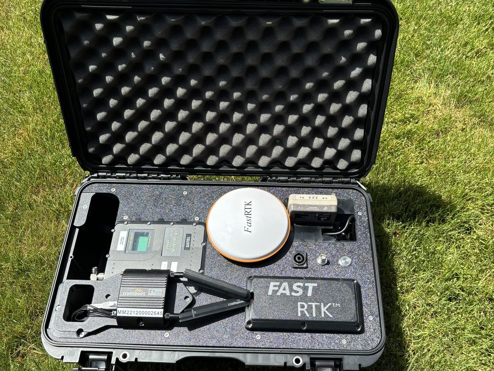
RTK Base Stations & Managed Networks
Own your corrections. We survey, install, and configure FastRTK base stations—permanent, mobile, or mini—and can run the NTRIP caster and monitor uptime for you, with a 15-minute critical-response SLA and unlimited rovers at a flat annual cost.
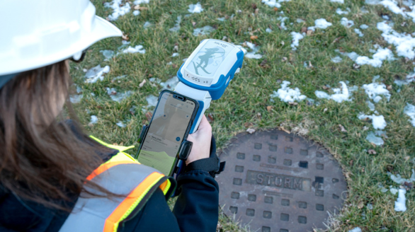
Asset Capture & Field Workflows
Efficient, repeatable data collection for your assets. We design the workflow in ArcGIS Field Maps, Survey123, or our own FastXY app, configure the receivers to match, and train the crews—so the data lands in your GIS the same day.
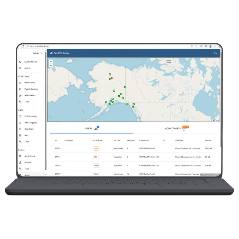
GNSS Data Analytics & Post-Processing
Fix bad data, verify accuracy, and post-process collections. Our GNSS experts make sure you are working in the right datums, projections, coordinate systems, and units before anything goes into the system of record.
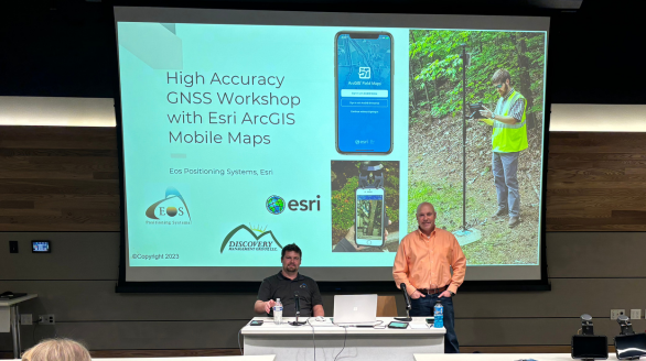
Workshops & Training
Free instructional workshops and webinars on RTK fundamentals, datums and coordinate systems, and Esri ArcGIS Field Maps, plus one-on-one onboarding when your kit arrives.
GIS Consulting & Custom Software
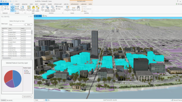
Software installed on premise, in the cloud, or hosted on our own servers. We leverage existing GIS tools and build custom ones—including the RTK dashboards and uptime monitoring behind our managed networks.
25 yrs
1,000+
150+
50
How we work
Three steps to production data
1. Consult
Tell us what you map, the accuracy you need, and the software you use. We tell you honestly what will work—including the free options.
2. Configure & install
Receivers, corrections, and apps arrive configured and tested. Base stations get surveyed and installed; networks get monitored.
3. Train & support
Your crews learn on their own equipment, and our team stays a phone call away for as long as you run it—with the Support Center and Knowledge Base open around the clock.
Reseller network
Local help, wherever you are
We distribute through resellers across North America so you can source proven equipment with local support—and our own team backs every one of them.
Ready to talk about your project?
Whatever your organization needs—one receiver or a statewide RTK network—we will tailor the service to fit it.