ArcGIS Field Maps
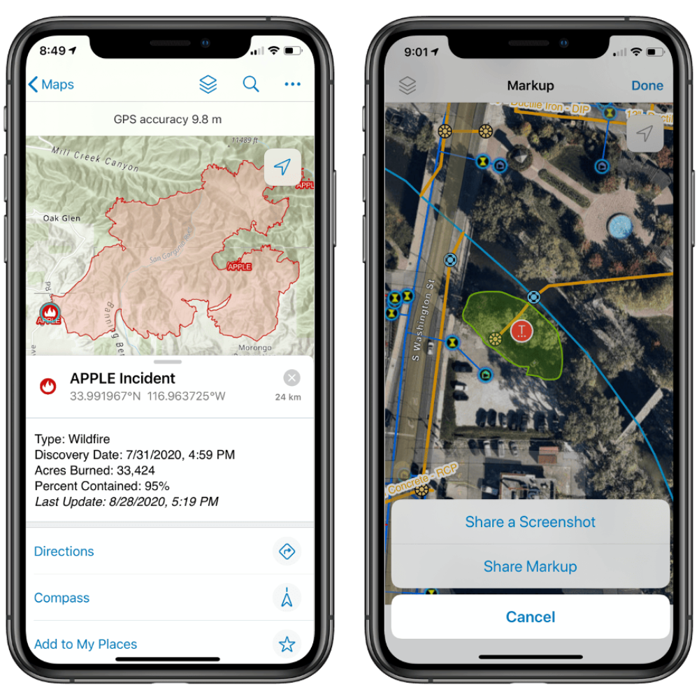
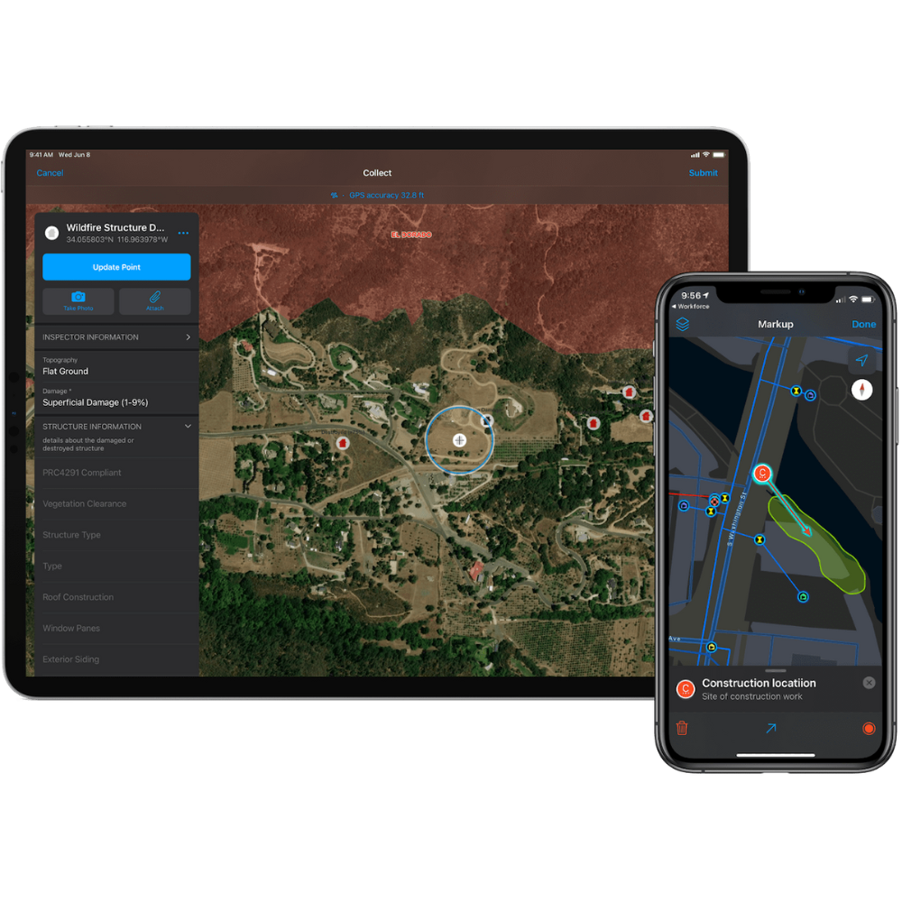
ArcGIS Field Maps is an all-in-one mobile app designed to revolutionize your field operations, providing a streamlined approach to high-accuracy data collection and workflow management. This comprehensive solution empowers field professionals to capture, manage, and share precise location data directly from their smartphones or tablets.
Ready to get started? Click Order Now and we’ll connect you with a local dealer.
Discover more by visiting the ArcGIS Field Maps website.


Key Features
Streamlined Field Workflows
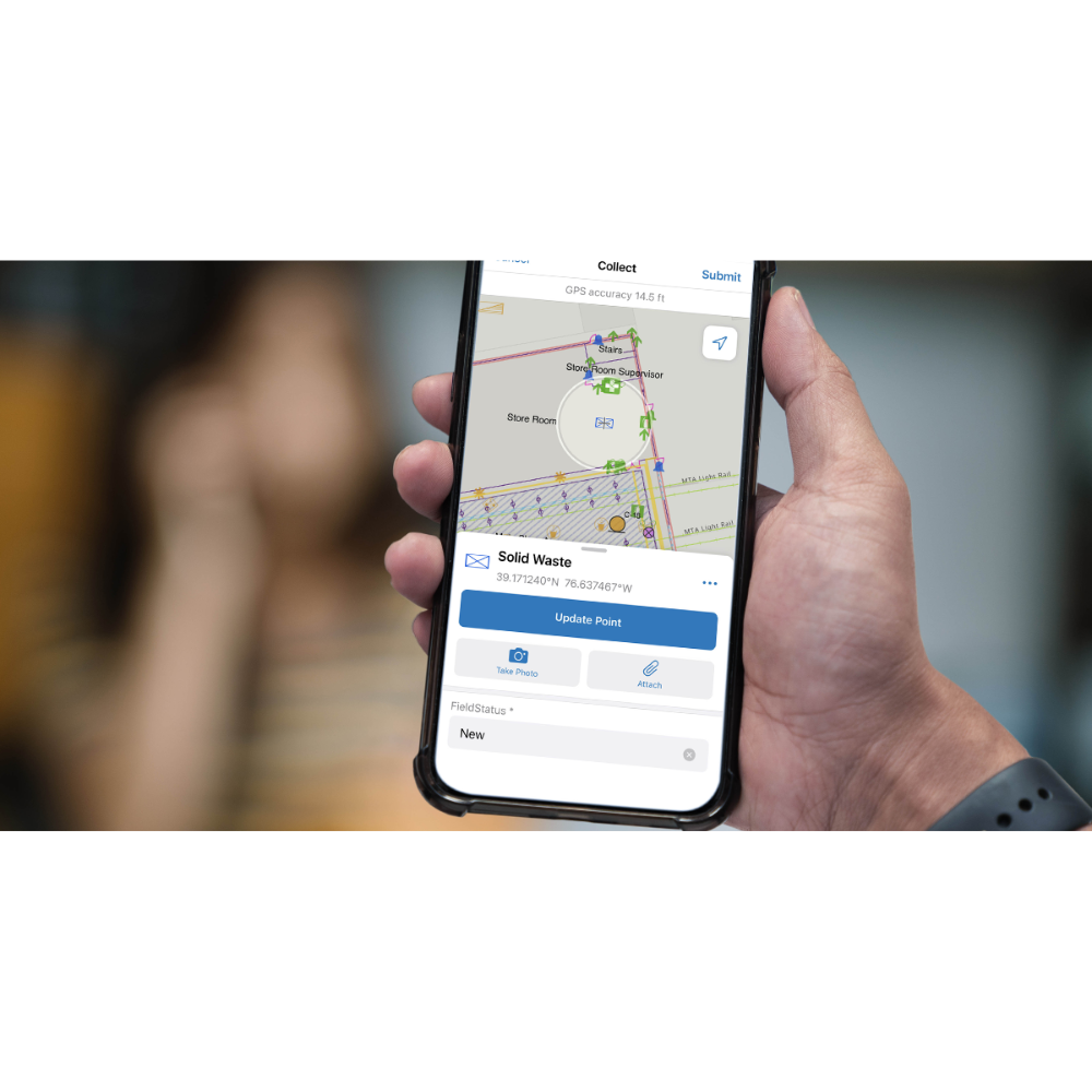
Replaces paper forms and disparate tools with a single, configurable app, simplifying data collection, editing, and reporting.
Data-Driven Maps & Mobile Forms
Access and interact with current ArcGIS maps 24/7, enabling efficient data capture with intelligent forms and reducing transcription errors.
Real-time Location Awareness
Provides transparency in field activities, allowing supervisors to monitor work progress and identify efficiency patterns through real-time location reporting.
Easy Deployment & Greater Accuracy
Quick to deploy with minimal training, and automatically feeds new or edited data into your ArcGIS system, ensuring higher data accuracy.

