
Local Government
Comprehensive solutions that help cities, counties, and state agencies digitally transform asset management, improve project delivery, and serve the public better.
Affordable, accurate GNSS for cities, counties, and public works
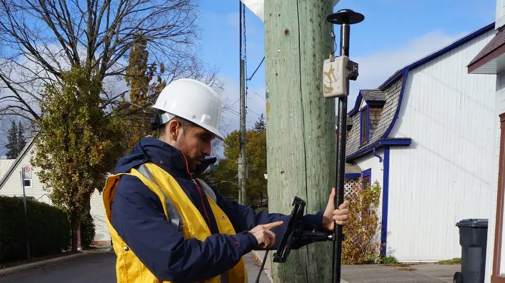
Local governments manage everything from signs and streetlights to storm drains and park assets, usually with tight budgets and small GIS teams. Digital Mapping Group helps agencies deploy Eos Arrow and Skadi receivers that are easy to use, require little training, and work with ArcGIS Field Maps and the mobile devices your staff already carry—so every department can collect its own reliable data.
What local governments get
Cities of every size are replacing paper maps and consumer GPS with high-accuracy GNSS.
630+
2×
$0
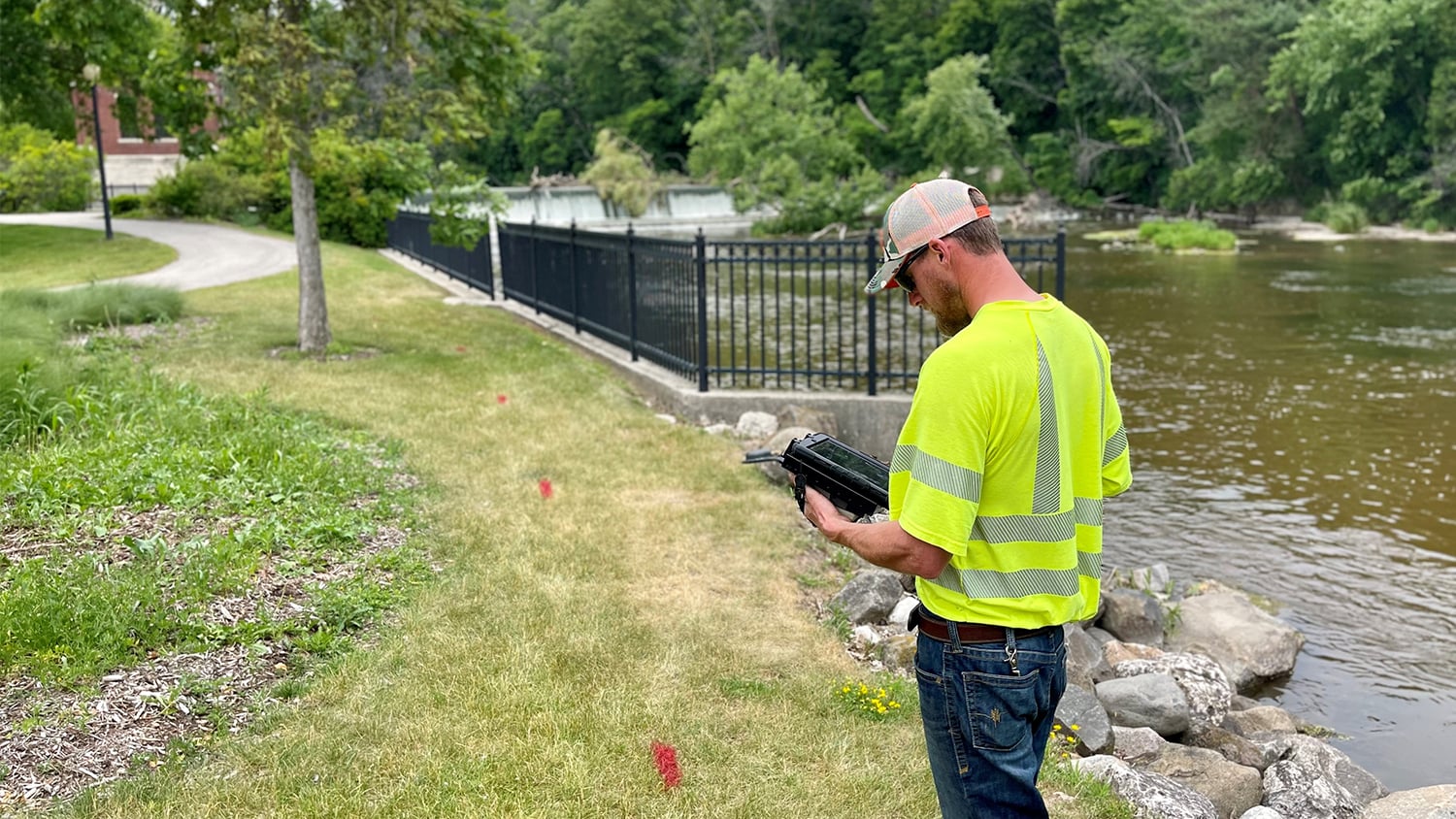
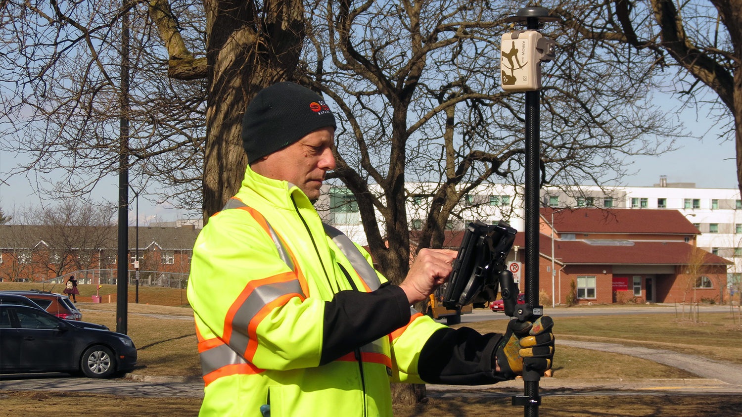
Inventory signs, sidewalks, trees, hydrants, and ADA ramps; map utilities and rights-of-way; support code enforcement and emergency response—all from the same GNSS receiver.
We offer new and refurbished receivers, straightforward quotes, and training built for public works crews, not surveyors.
Serving public works and GIS teams across the region
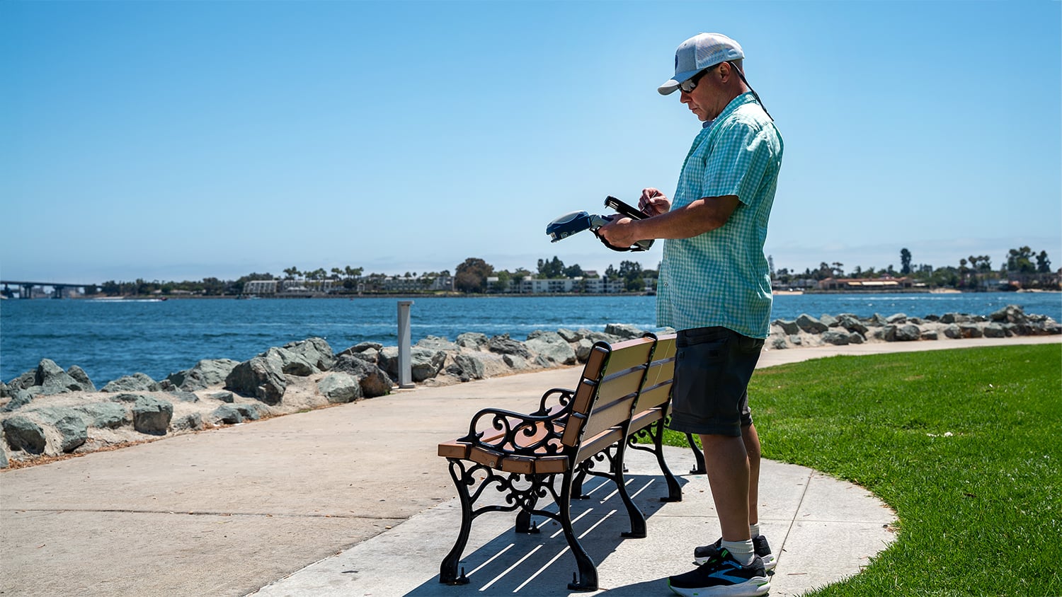
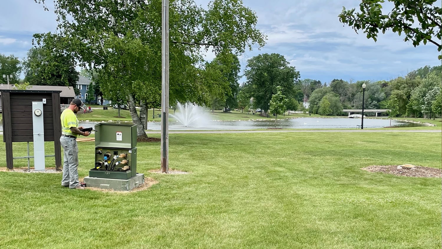
From park asset collection with a Skadi smart handle to rangepole mapping of infrastructure, see how municipalities put Eos GNSS to work.
Modernize your city’s asset data
Tell us which departments need better locations and what accuracy they require. We will recommend an affordable kit and get your staff collecting data quickly.