AEC
Integrated solutions that empower the construction industry to streamline design, enhance project management, optimize field operations, and improve overall efficiency across various segments.
Survey-grade GNSS that works with the tools you already own
Architecture, engineering, and construction teams need to verify site conditions, capture as-builts, and track progress without waiting on a survey crew. Digital Mapping Group supplies Eos Arrow and Skadi receivers that connect over Bluetooth to ArcGIS and other field apps on any iOS, Android, or Windows device—so your engineers, inspectors, and project managers can collect centimeter-accurate data themselves.
Why AEC teams choose us
High-accuracy GNSS pays for itself quickly on construction and engineering projects.
0.25 in
98%
20 min
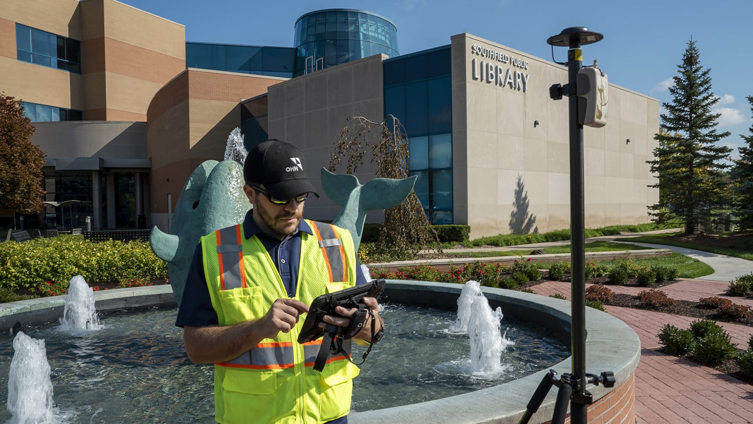
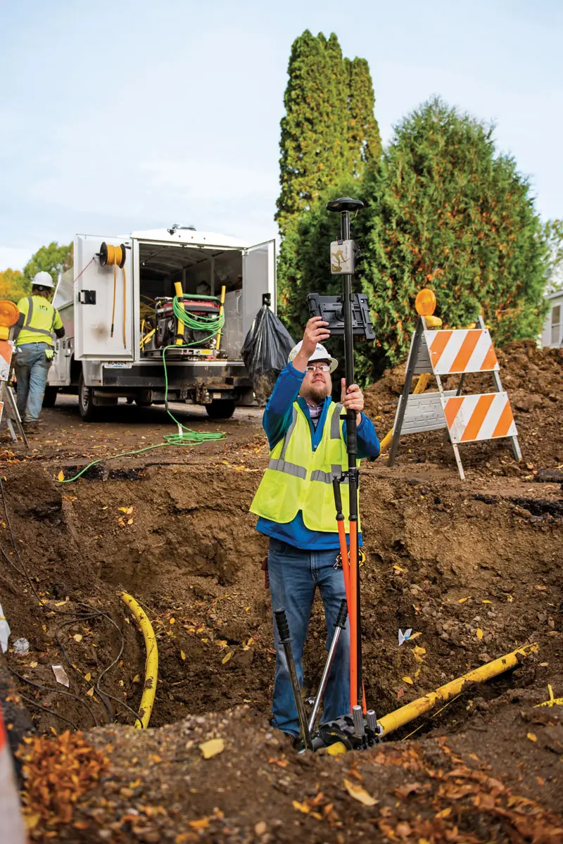
Capture real-time as-builts, verify design intent in the field, and hand off clean data to your CAD and BIM workflows—without dedicated survey equipment for every crew.
Our Portland-based team helps you choose between Arrow and Skadi receivers, sets up RTK corrections, and trains your staff on ArcGIS Field Maps or the app of your choice.
From site surveys to as-builts
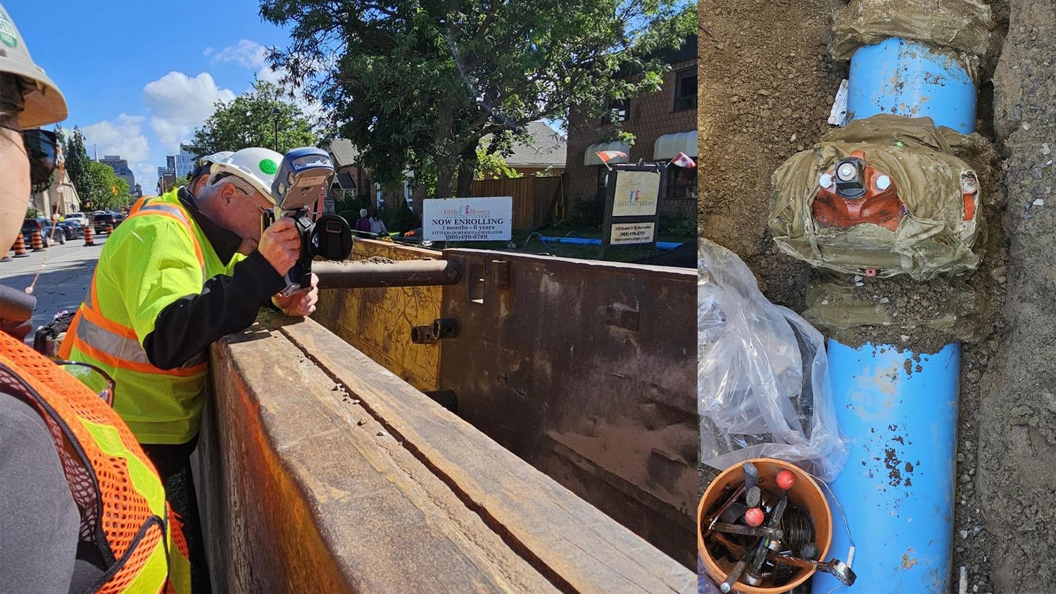
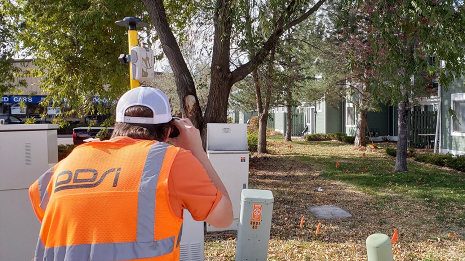
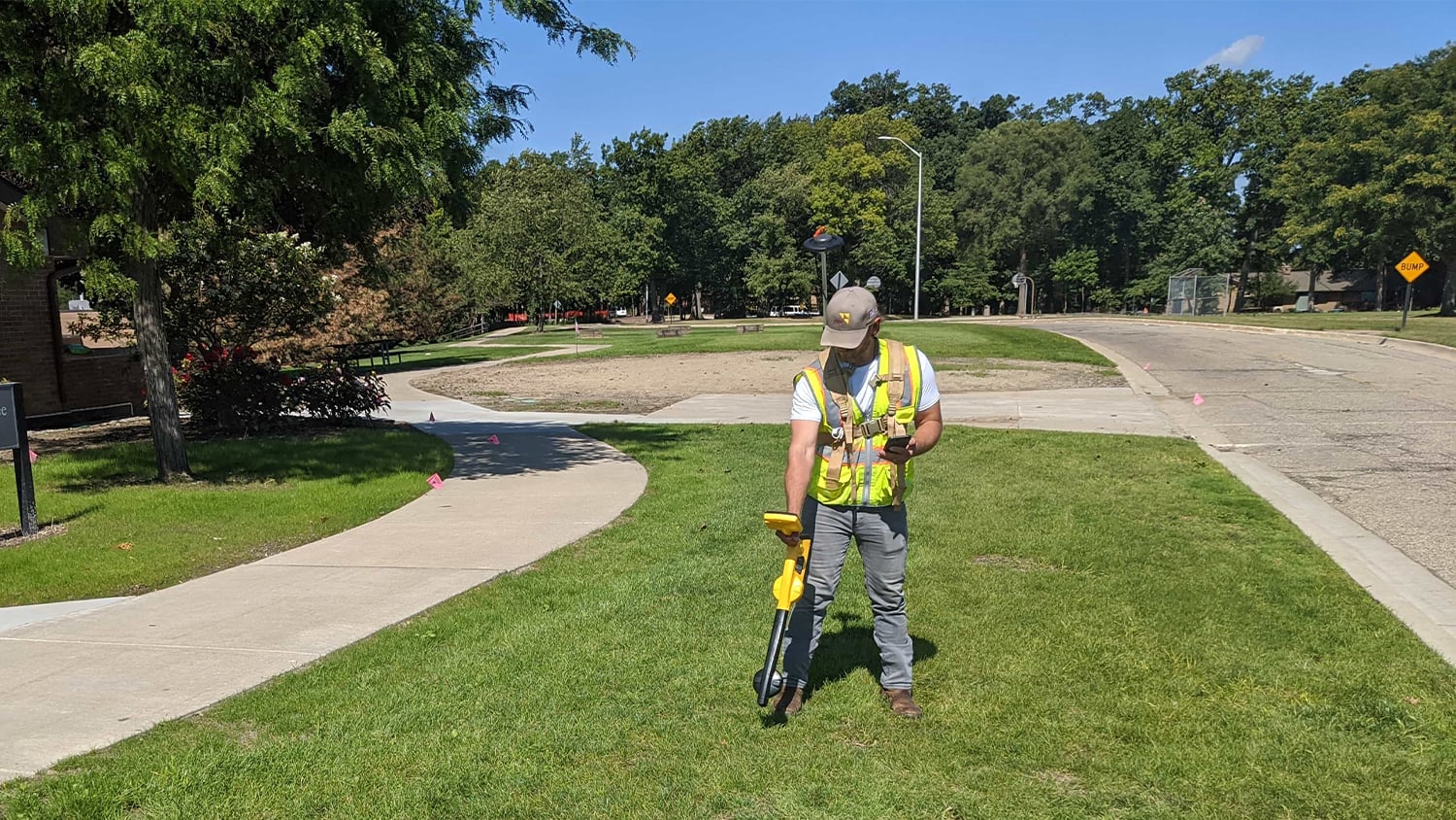
AEC firms use Eos GNSS for topographic feature collection, trench inspections, laser mapping, and underground utility locates. Eos GNSS works for projects of all sizes and scope.