
Communications
Precise mapping for fiber, broadband, and wireless networks—from buried plant to tower sites.
Map your outside plant with confidence
Broadband expansion, fiber-to-the-home builds, and wireless upgrades all depend on knowing exactly where your plant is. Digital Mapping Group equips telecom construction crews, engineering firms, and network operators with Eos Arrow and Skadi GNSS receivers that stream submeter to centimeter positions into ArcGIS Field Maps, Survey123, or your fiber management platform on any mobile device.
Ideal for communications networks
Accurate as-builts today prevent expensive locates, damages, and re-surveys tomorrow.
1 cm
60 cm
2
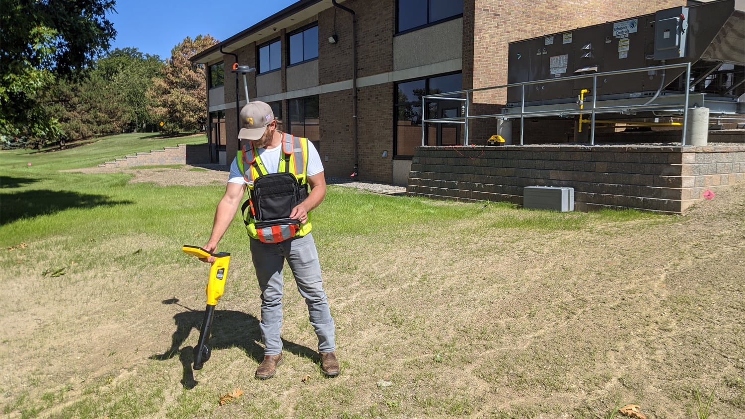
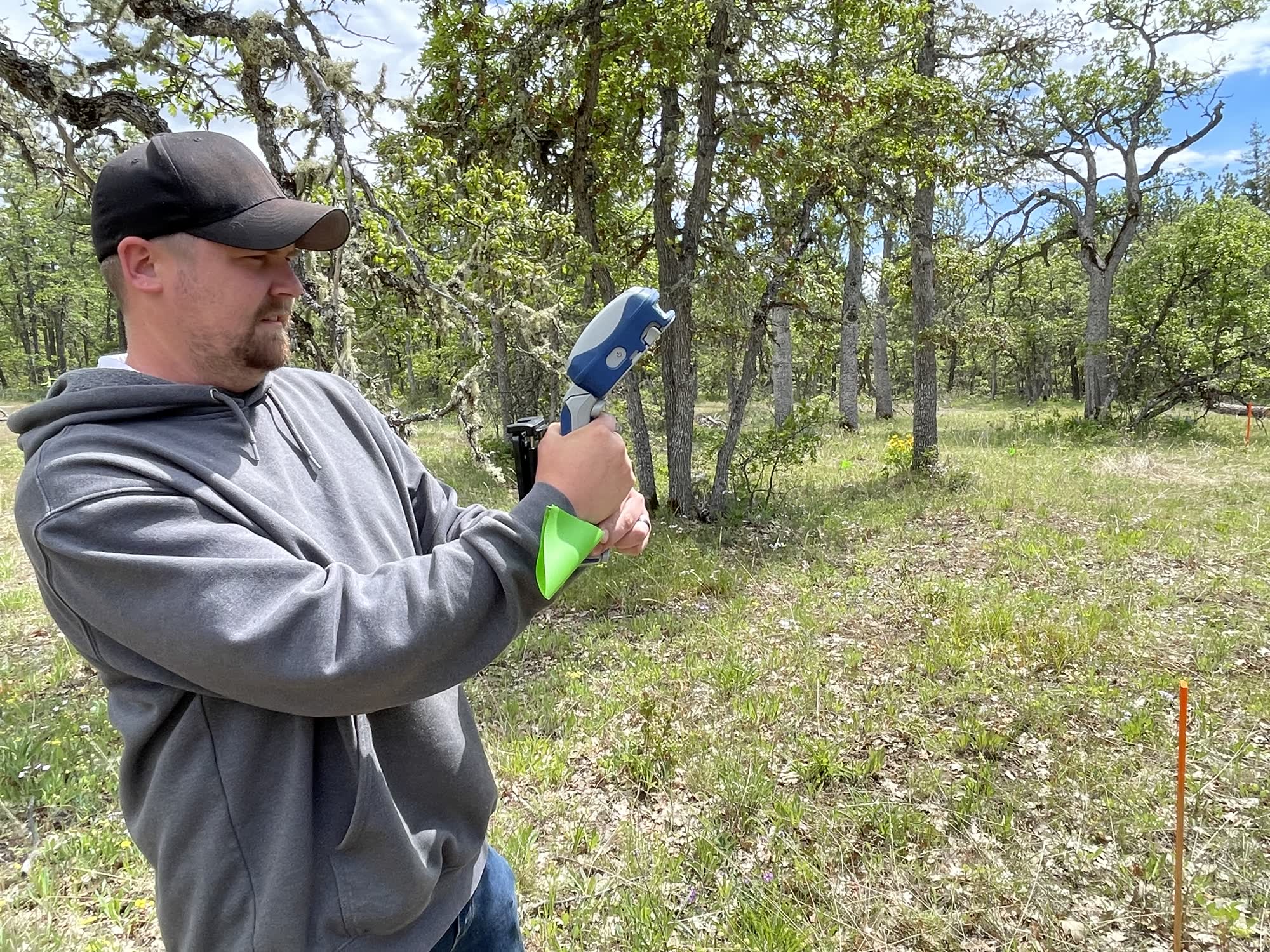
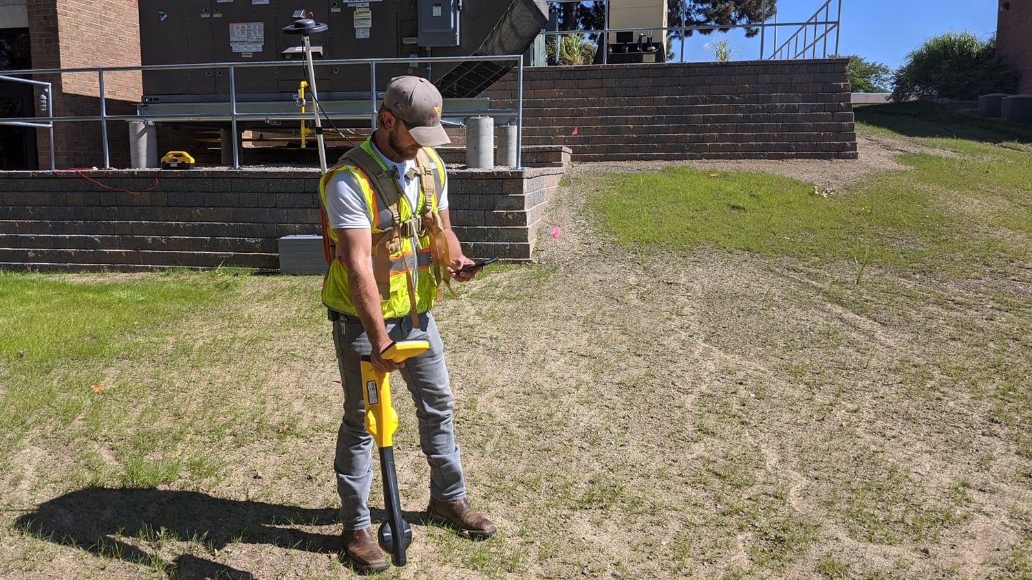
During construction, capture the fiber route and every structure before the trench is closed. After construction, pair a locator with your receiver to map existing plant with depth below grade.
Whether you are a contractor, a rural broadband provider, or a wireless carrier, we help you pick the right receiver, corrections, and app—then train your crews.
From the trench to the tower
See how field teams use Eos GNSS with locators, smart handles, and rangepoles to document underground and aerial communications infrastructure.
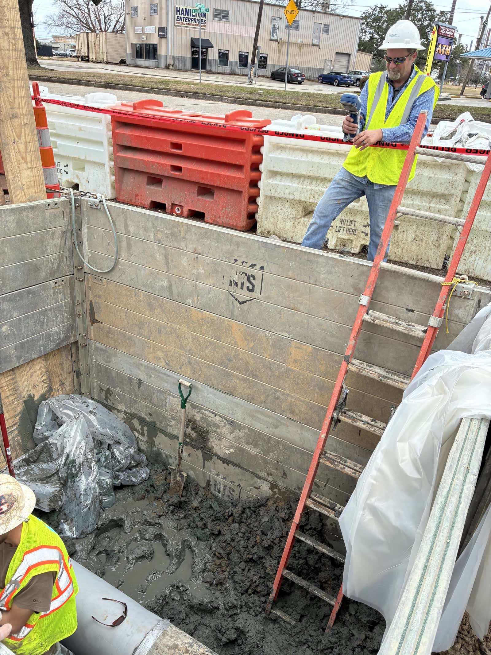
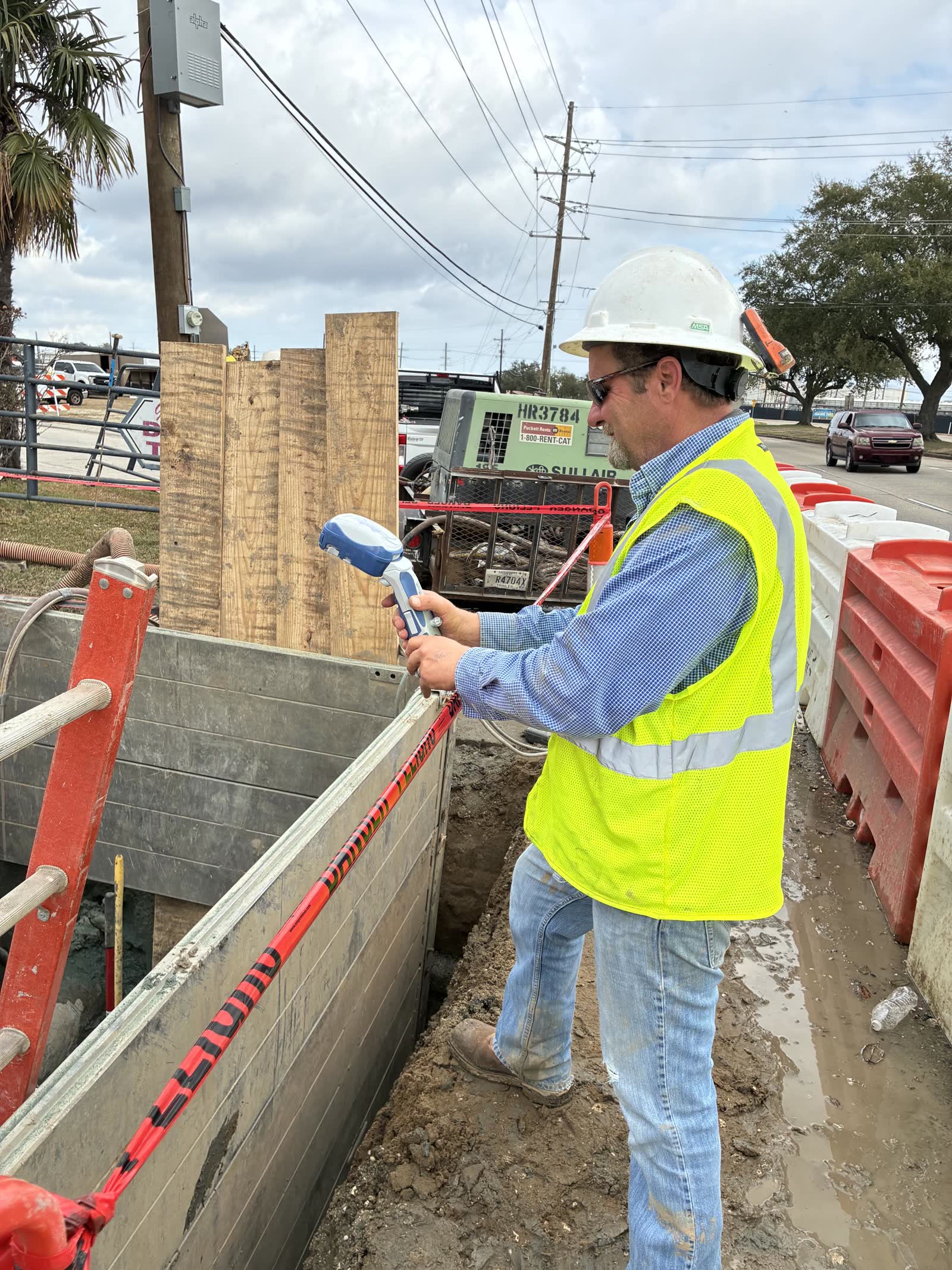
Build an accurate network record
Tell us about your build-out and the systems you use. We will design a kit that keeps your as-builts accurate and your crews productive.