
Environmental
High-accuracy GNSS for conservation, restoration, and environmental monitoring—anywhere the work takes you.
Reliable positions for field science and conservation
Environmental work happens under tree canopy, in wetlands, along coastlines, and far from cell coverage. Digital Mapping Group equips agencies, consultants, and research teams with lightweight Eos Arrow and Skadi receivers that deliver 30–60 cm accuracy out of the box, or centimeter-level results with RTK, and stream directly into ArcGIS Field Maps, Survey123, or any data-collection app you already use.
Made for the outdoors
From wildlife habitat to watershed studies, accurate data makes environmental decisions defensible.
30–60 cm
1 cm
3
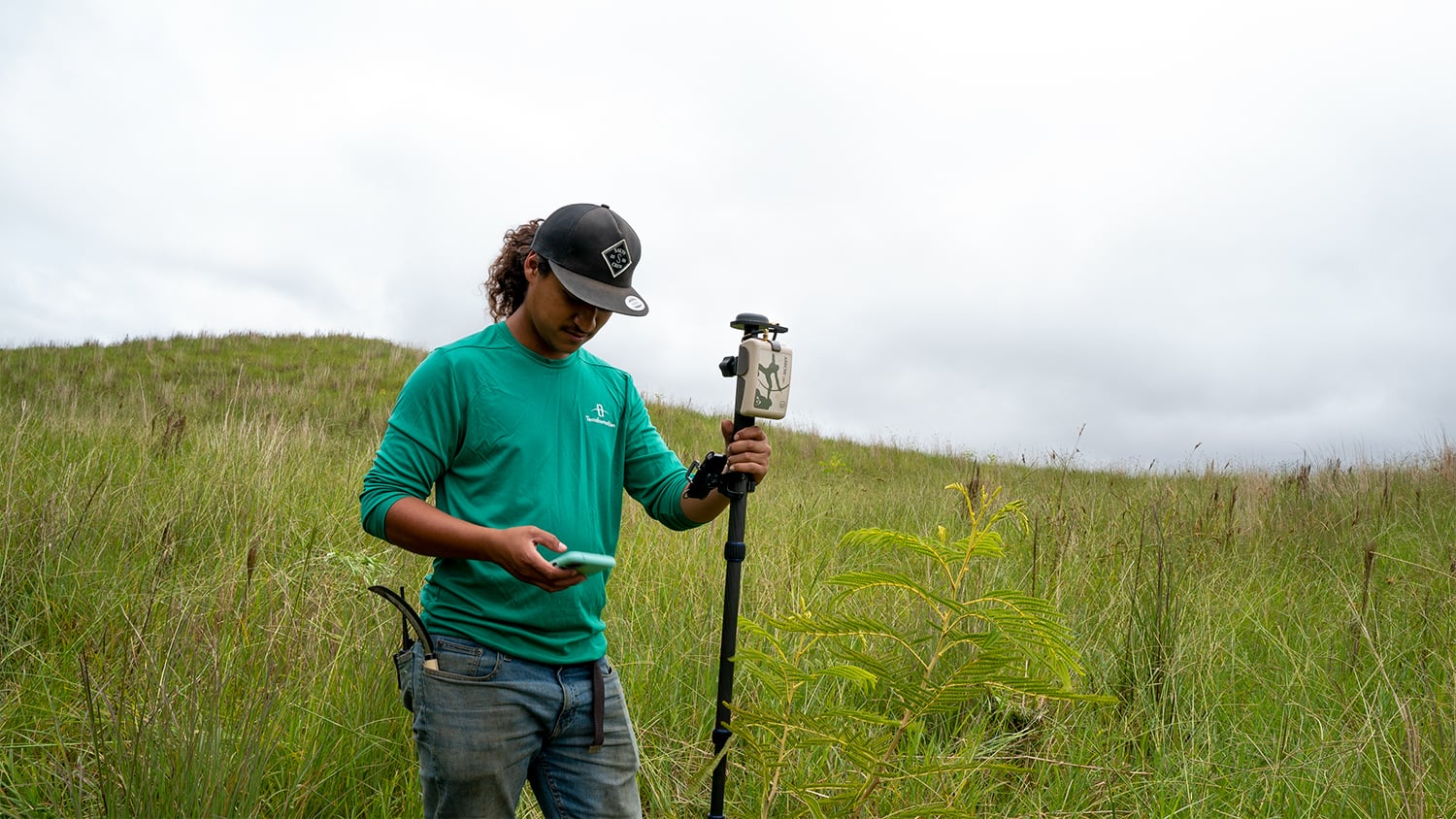
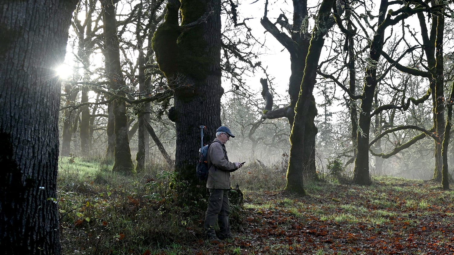
Map invasive species, monitoring wells, sample sites, culverts, and restoration plantings with the same receiver, and return to the exact location season after season.
Pair a TruPulse laser rangefinder with your receiver to capture trees, nests, and shoreline features you cannot safely stand on—directly into your GIS with Eos Laser Mapping.
Trusted by conservation teams around the world
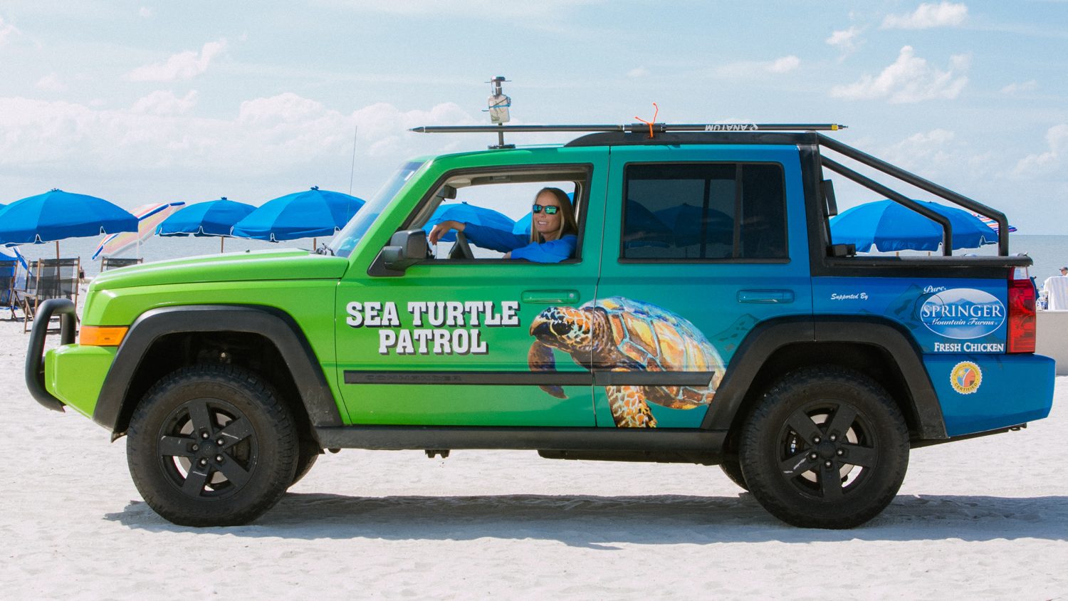
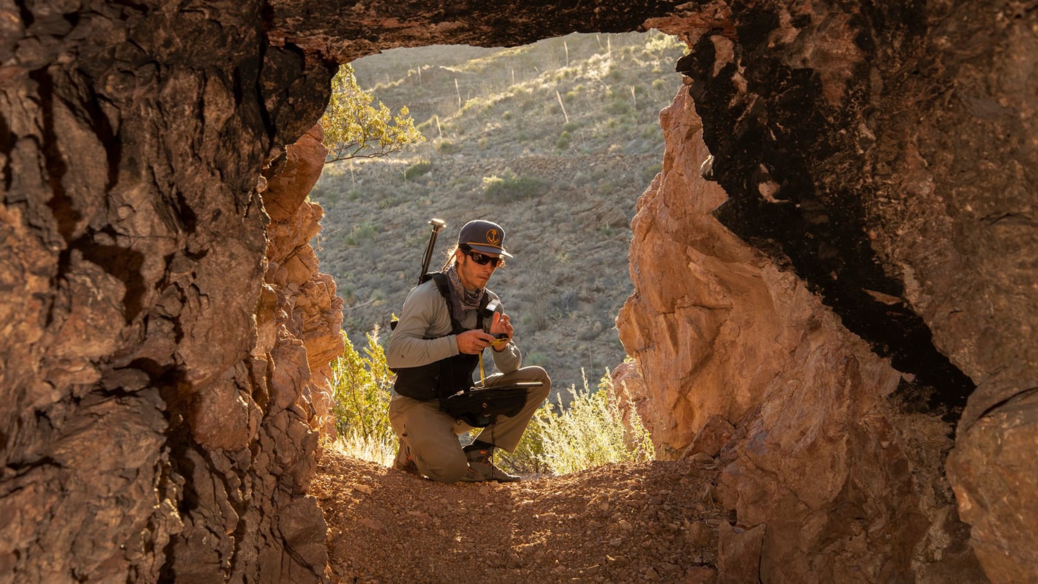
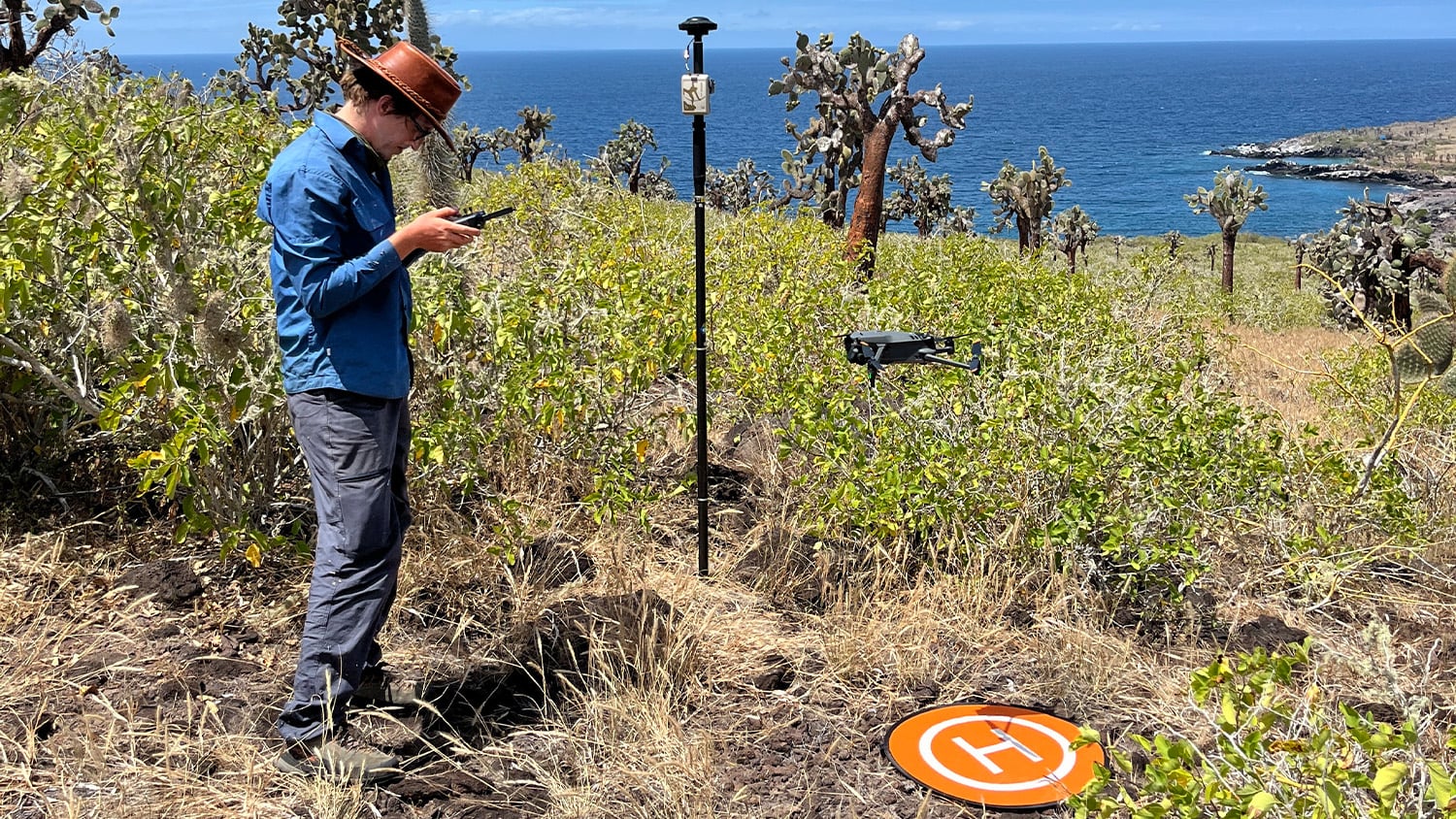
Sea turtle patrols, bat habitat surveys, coastal change studies, and reforestation programs all rely on Eos GNSS to protect what matters.
Let’s plan your next field season
Tell us where you work and what you need to measure. We will recommend the right receiver, corrections, and software—and train your team before the first day in the field.