
Utilities
Utility companies look to us for supplying their field crews with highly efficient and accurate data collection tools.
Field-ready GNSS for electric and multi-service utilities
From pole and transformer inventories to underground locates and storm-damage assessments, utility crews need positions they can trust without slowing the job down. Digital Mapping Group pairs Eos Arrow and Skadi GNSS receivers with the apps your GIS team already uses—ArcGIS Field Maps, Survey123, and more—so every asset lands in your system of record with submeter to centimeter accuracy the first time.
Built for utility workflows
Utilities that standardize on high-accuracy GNSS see the difference in the field and in the office.
25–35%
1 cm
$0
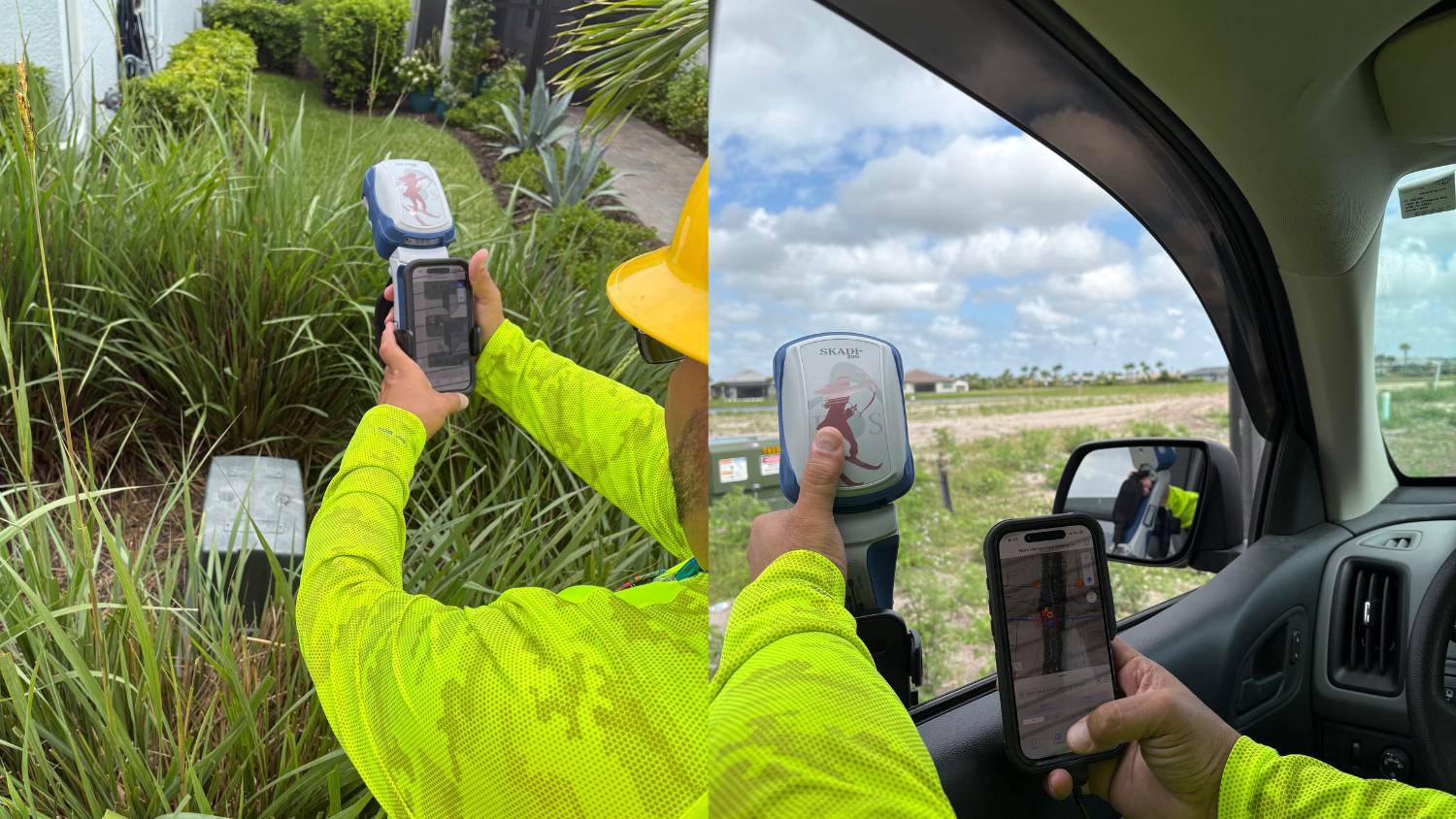
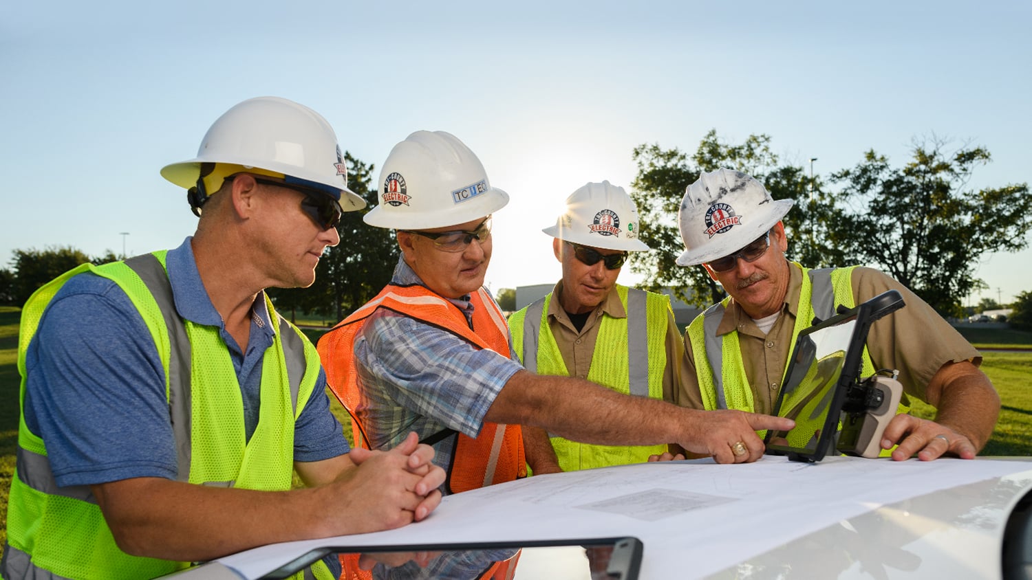
Whether you run a rural cooperative or a municipal electric department, we help you choose the right receiver for the correction sources available in your service territory—SBAS, our FastRTK network, or your own base station.
Our team trains your crews, configures your devices, and stays on call after the sale. Most utilities are collecting production data within a day of unboxing.
Proven in the field with utilities across North America
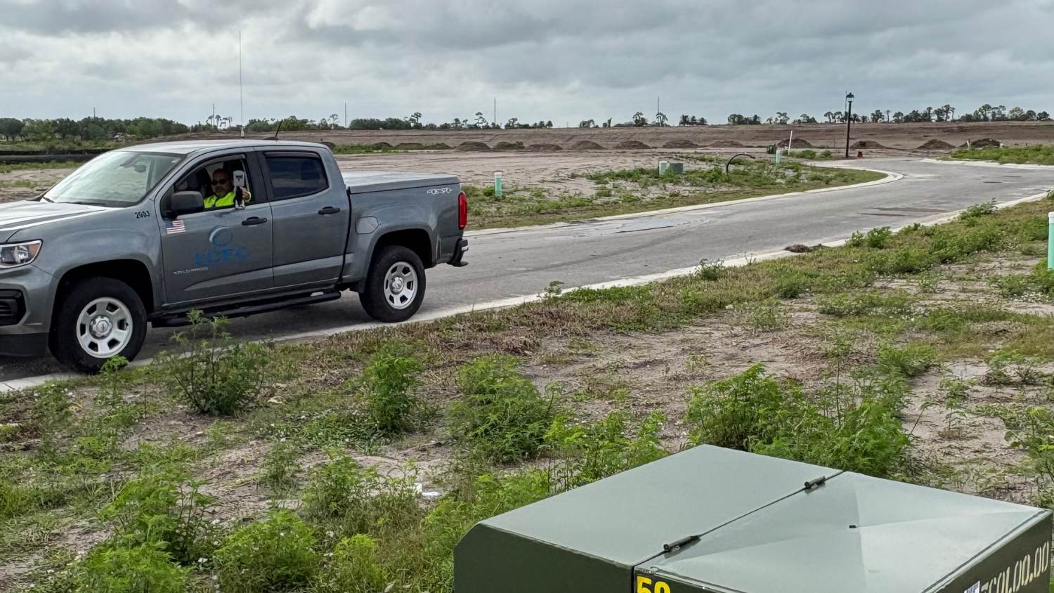
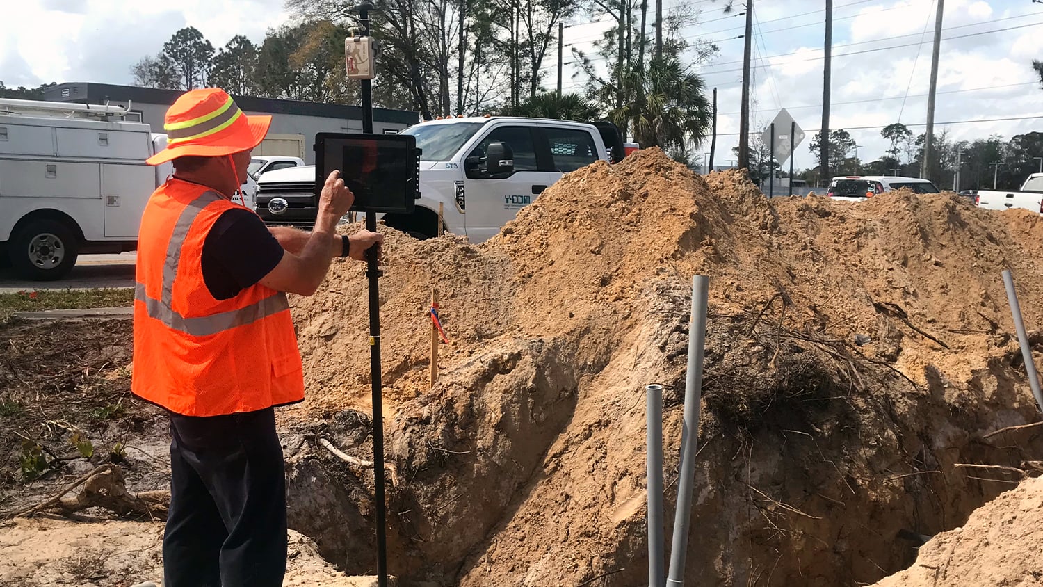
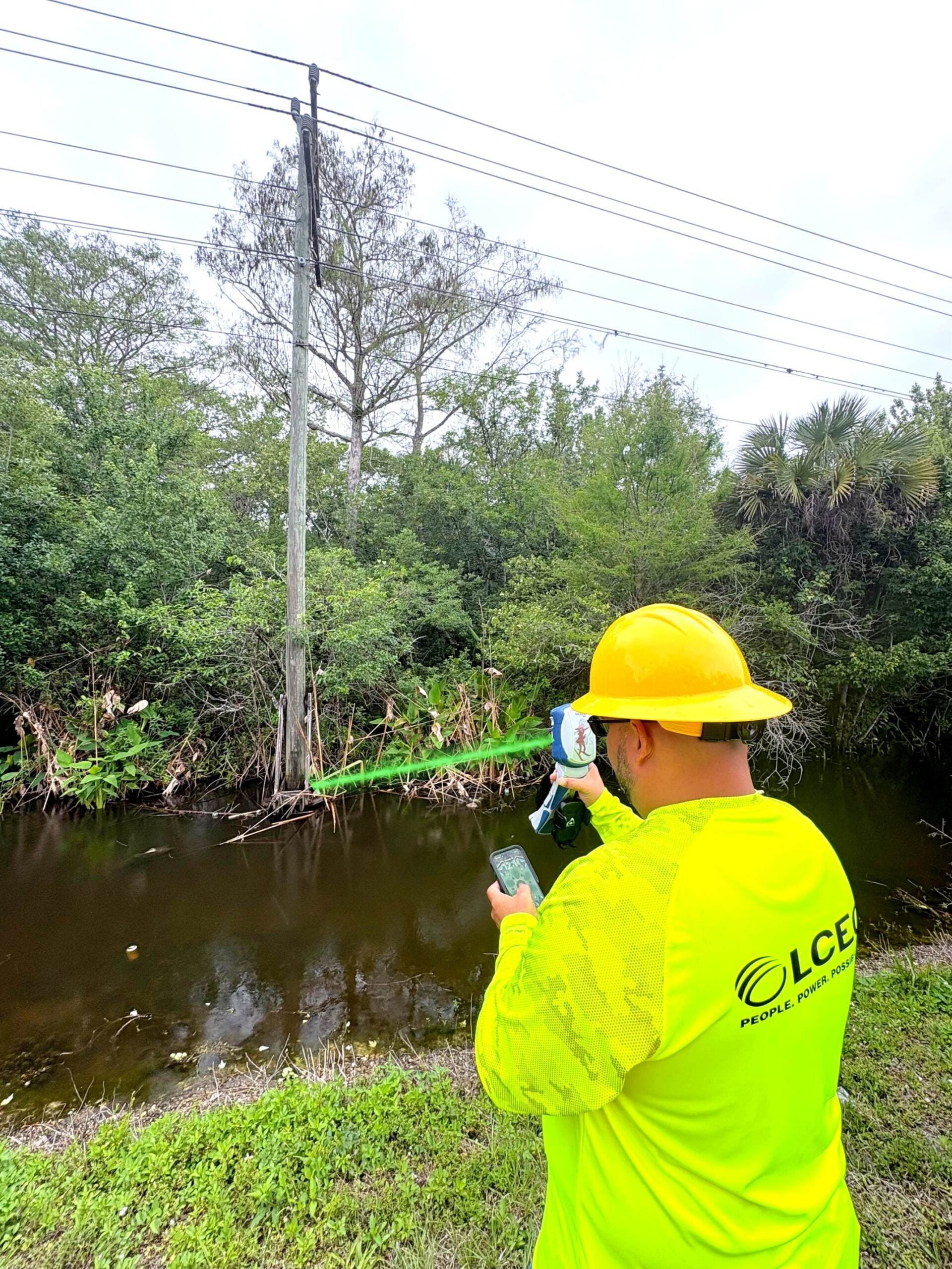
Cooperatives and public utilities use Eos receivers with bucket trucks, smart handles, and rangepoles to capture poles, meters, switches, and underground plant.
Ready to modernize your utility field data?
Tell us about your service territory, your GIS, and your accuracy requirements. We will recommend a complete, budget-friendly kit and get your crews trained.