
Agriculture
Submeter to centimeter GNSS for orchards, vineyards, row crops, and soil sampling—without post-processing or subscriptions.
Real-time, high-accuracy positions for precision agriculture
Growers, agronomists, and farm-management firms use Eos Arrow and Skadi receivers to map fields, prescribe inputs, and track individual plants with submeter to centimeter accuracy. Digital Mapping Group pairs the receiver with the apps your team already runs—ArcGIS Field Maps, Survey123, and more—so positions land in your farm GIS in real time, with no post-processing.
Built for the farm
Precision agriculture pays back quickly when the location data is right the first time.
500,000
100,000
30 cm
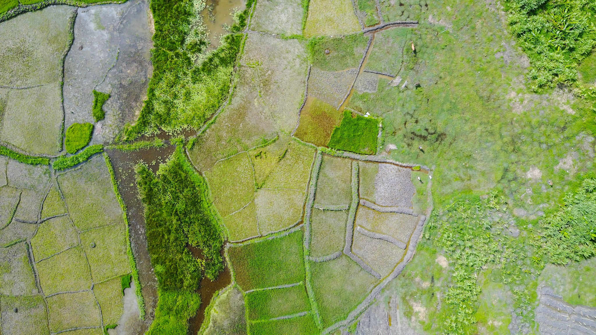
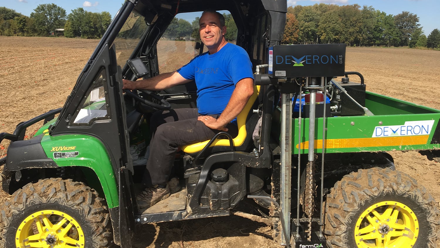
Map vine and tree health, beehives, tile drainage, pivots, and field boundaries with one receiver, then build fertilizer, seed, and pesticide prescriptions from data you trust.
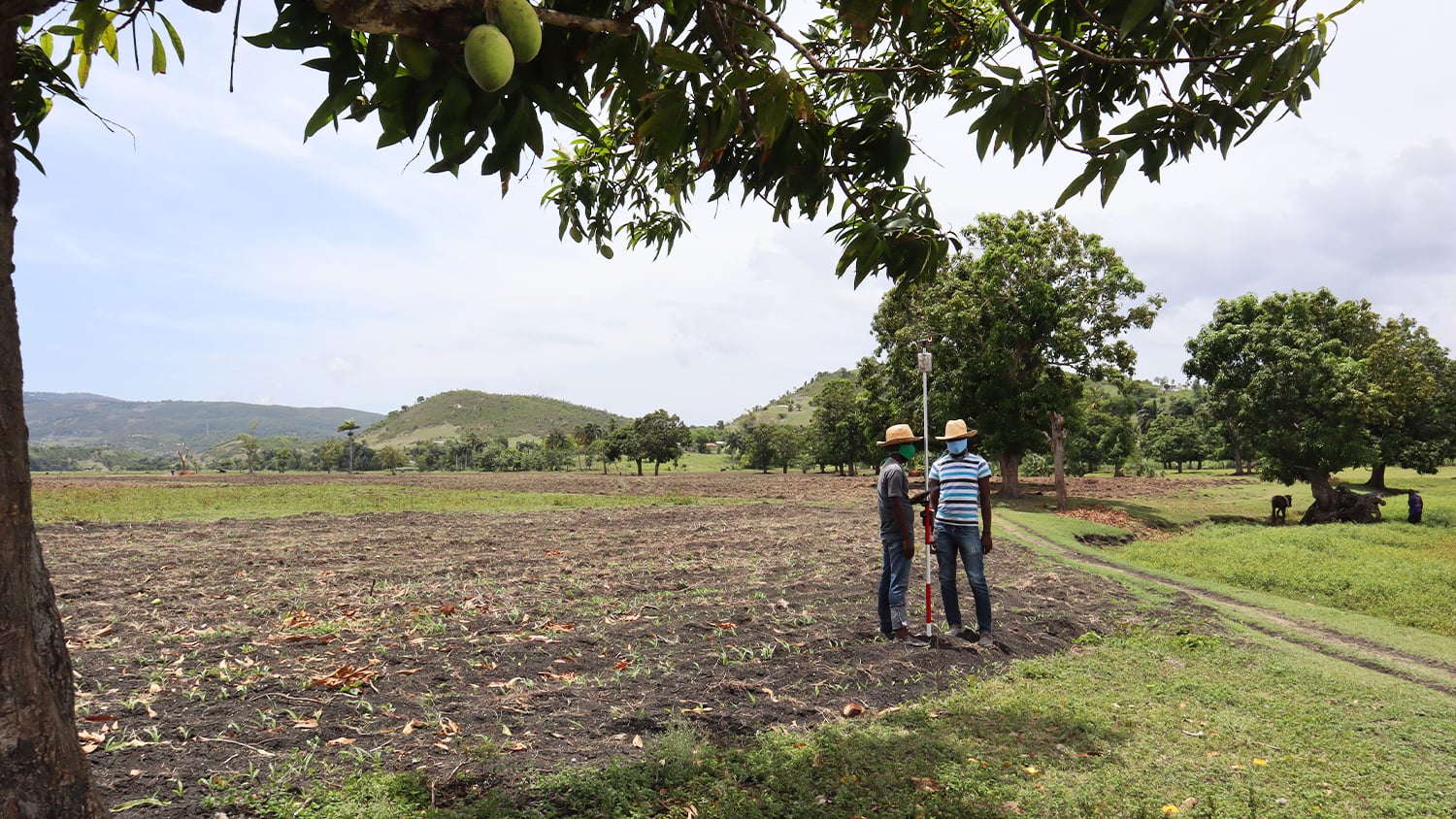
For remote land without cell coverage, a portable FastRTK base kit gives you centimeter accuracy anywhere on the property—and we configure and support the whole kit.
Proven from vineyards to soil sampling
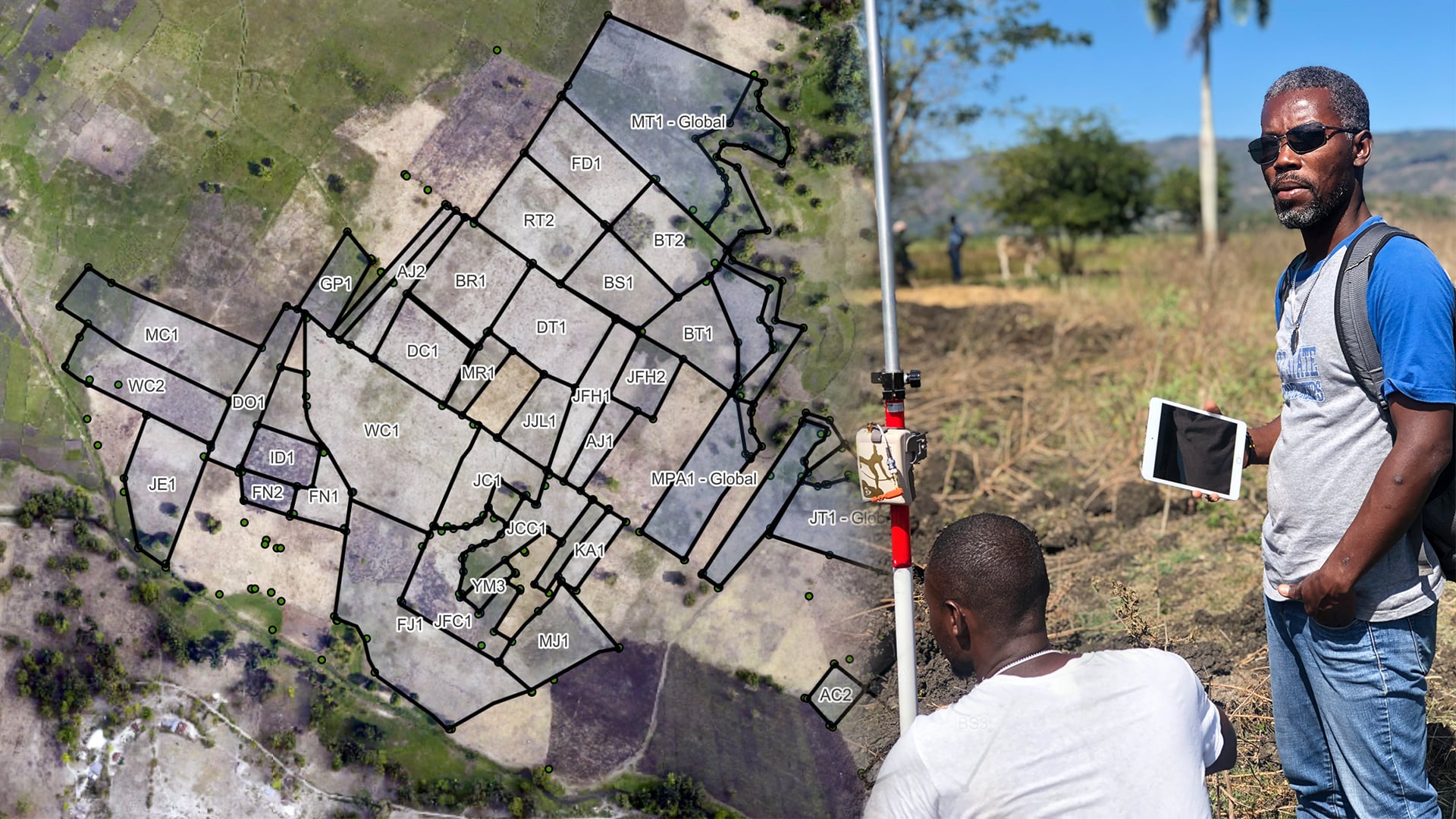
Agricultural teams use Eos GNSS for land boundaries, orchard re-levelling, zoning for prescriptions, and season-over-season plant monitoring.
Bring precision to every acre
Tell us what you grow, what you need to map, and the software you use. We will recommend a receiver, corrections, and training that fit your operation.