
Water/Waste-water
Easy, affordable, high-accuracy GPS for water, wastewater, and stormwater asset mapping.
Finally, an easy GPS system for water professionals
Whether you need to map valves and hydrants in real time, manage wastewater infrastructure, or replace paper stormwater inspection workflows, Digital Mapping Group has you covered. Eos Arrow and Skadi receivers connect to ArcGIS Field Maps, Survey123, or any app on your existing tablets and phones, delivering submeter to centimeter accuracy without the cost or complexity of survey equipment.
Built for water utilities
Water districts of every size are mapping their systems with Eos GNSS.
630+
1 cm
50%
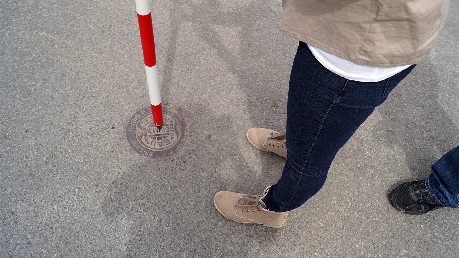
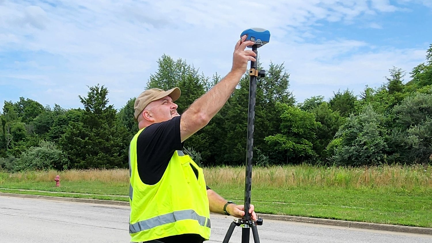
Map water mains, meters, valves, manholes, lift stations, outfalls, and catch basins with one receiver family, and keep the data flowing straight into your GIS and asset management system.
We help you pick the right accuracy level, set up corrections from SBAS or our FastRTK network, and train your operators—no surveying background required.
Proven with water districts nationwide
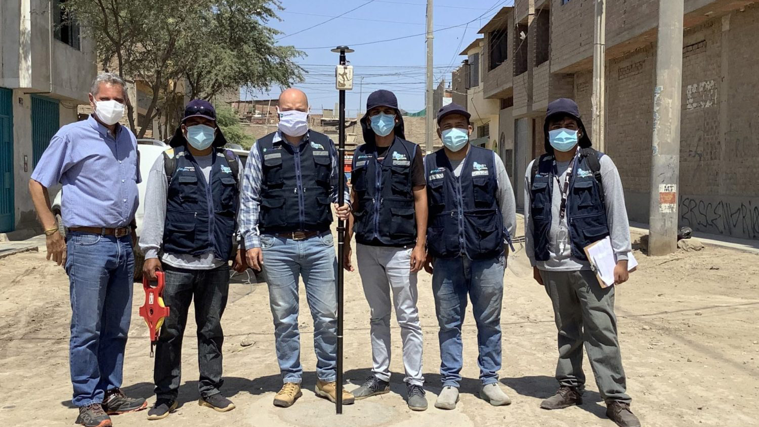
From small rural districts moving off paper map books to large agencies managing recycled water systems, see how Eos GNSS fits water workflows.
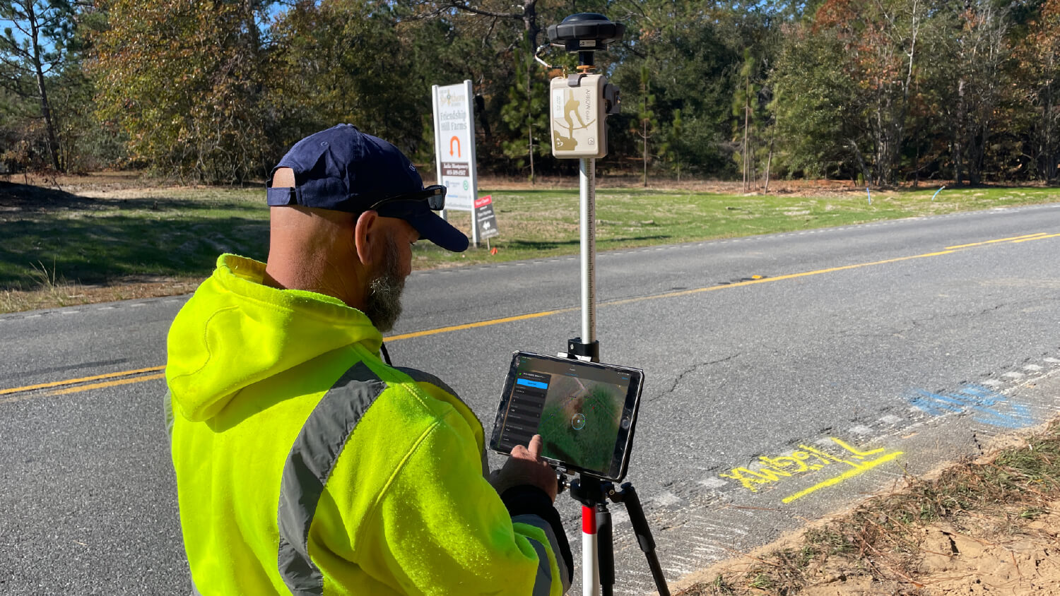
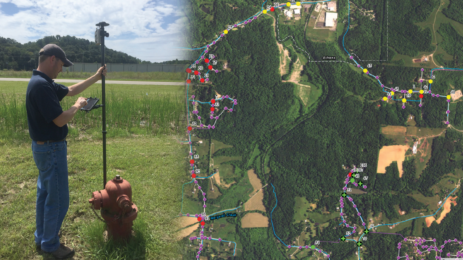
Get your water system mapped accurately
Tell us about your assets and your GIS. We will recommend a complete, affordable kit and get your crews collecting reliable data fast.