
Natural Gas
Meeting tracking and traceability requirements with survey-grade as-builts for gas distribution and transmission.
GNSS for gas distribution and transmission professionals
Gas utilities face growing requirements for tracking and traceability, accurate as-builts, and fast, reliable locates. Digital Mapping Group supplies Eos Arrow and Skadi receivers that gas professionals across North America use with ArcGIS Field Maps, Survey123, LocusView, and CartoPac to capture mains, services, valves, and fittings with submeter to centimeter accuracy—directly into your GIS.
Why gas professionals choose Eos
Gas utilities using high-accuracy GNSS report faster field work and cleaner records.
2×
100s
0.25 in
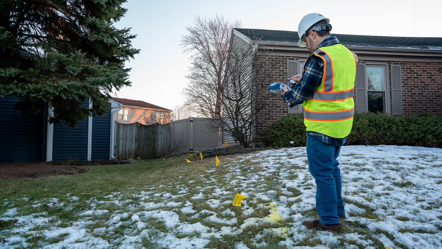
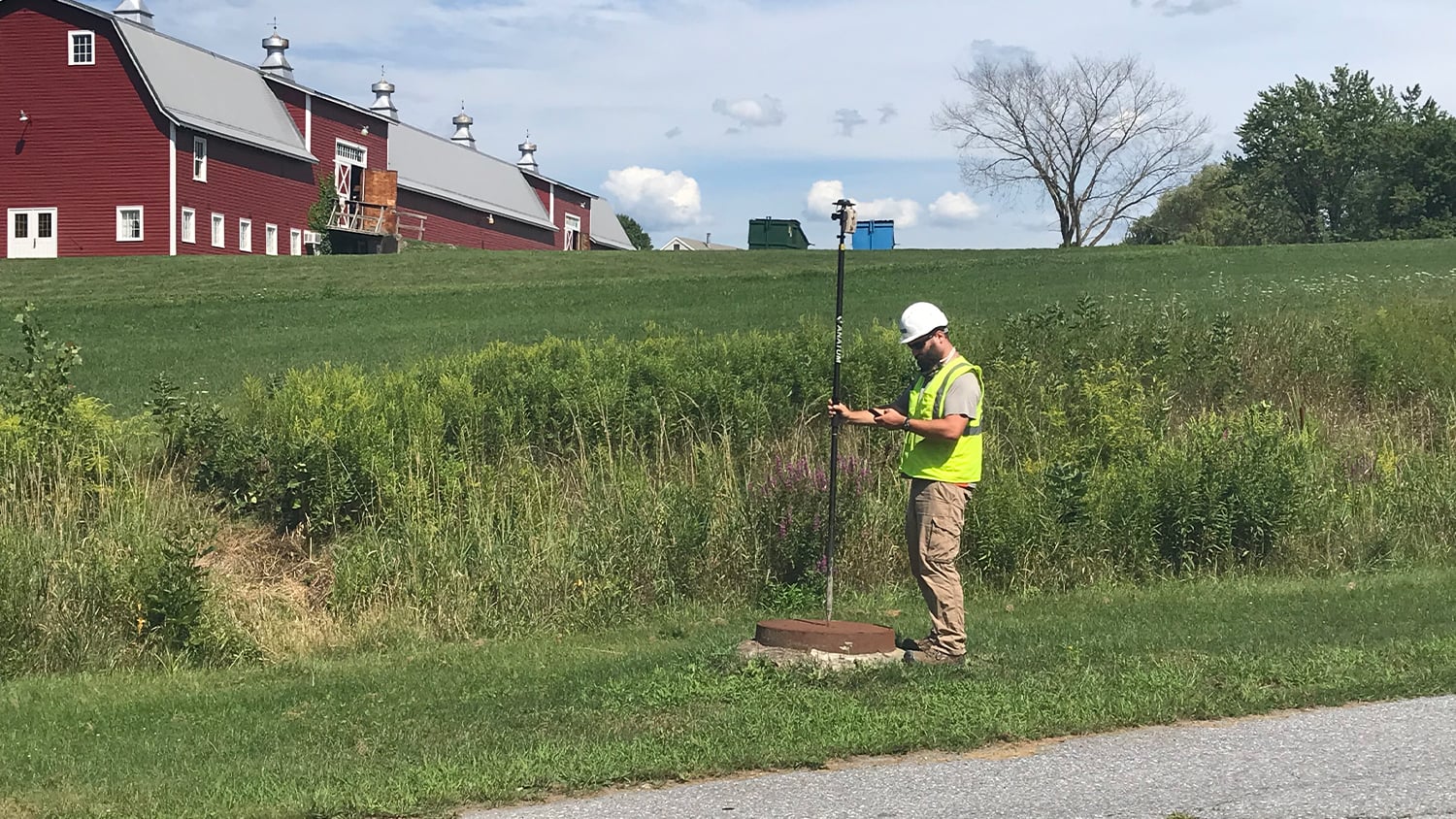
Capture new construction to within inches before backfill, tie every joint and fitting to its record, and give your integrity and compliance teams data they can defend.
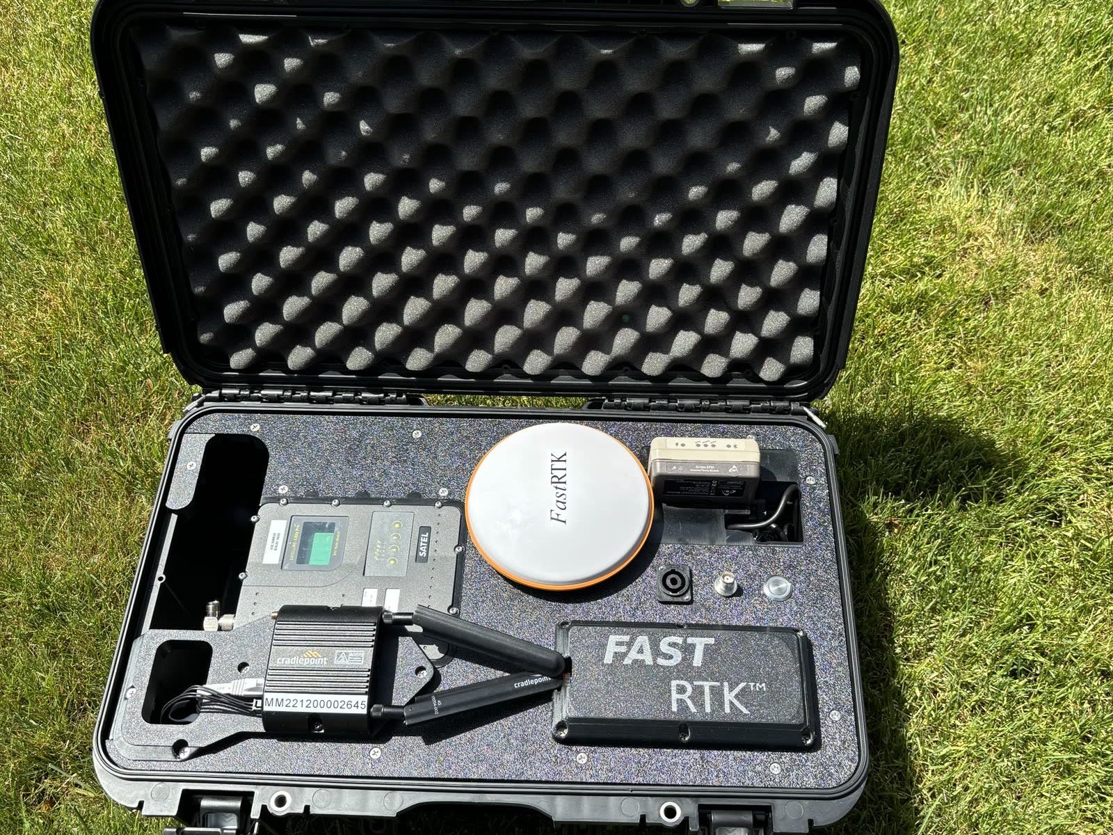
From distribution crews with a Skadi in hand to transmission projects running RTK off our FastRTK network, we configure and support the complete kit.
Trusted by gas utilities across North America
See how gas professionals use Skadi and Arrow receivers for as-builts, tracking and traceability, and daily operations.
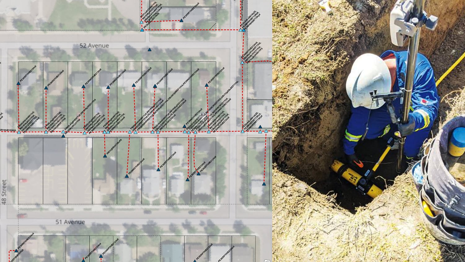
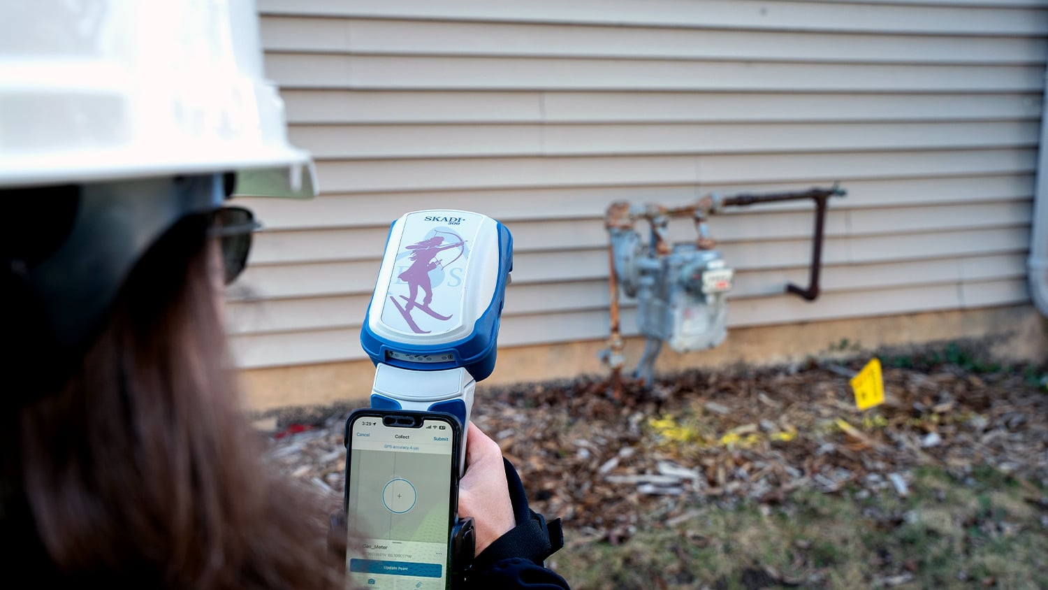
Take control of your gas asset data
Tell us about your system, your GIS, and your compliance requirements. We will recommend receivers, corrections, and software that fit your crews.