
Oil & Gas
Accurate, verifiable location data for pipelines, well sites, and midstream assets—from construction through operations.
High-accuracy GNSS for pipeline and midstream operations
Oil and gas operators need to know exactly where every weld, valve, launcher, and test station sits—for integrity management, regulatory reporting, and emergency response. Digital Mapping Group supplies Eos Arrow and Skadi receivers that pair with ArcGIS Field Maps, Survey123, and pipeline apps like LocusView on iOS, Android, or Windows, so field crews capture submeter to centimeter positions directly into your PODS or enterprise GIS.
Built for the right-of-way
Operators that standardize on high-accuracy GNSS see gains in data confidence and adoption across the enterprise.
5,000%
$60K+
2,000+
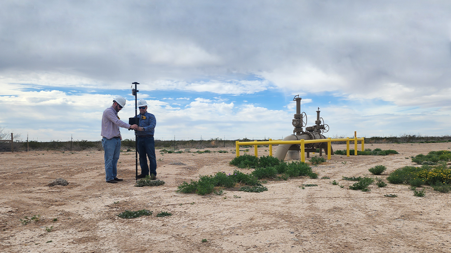
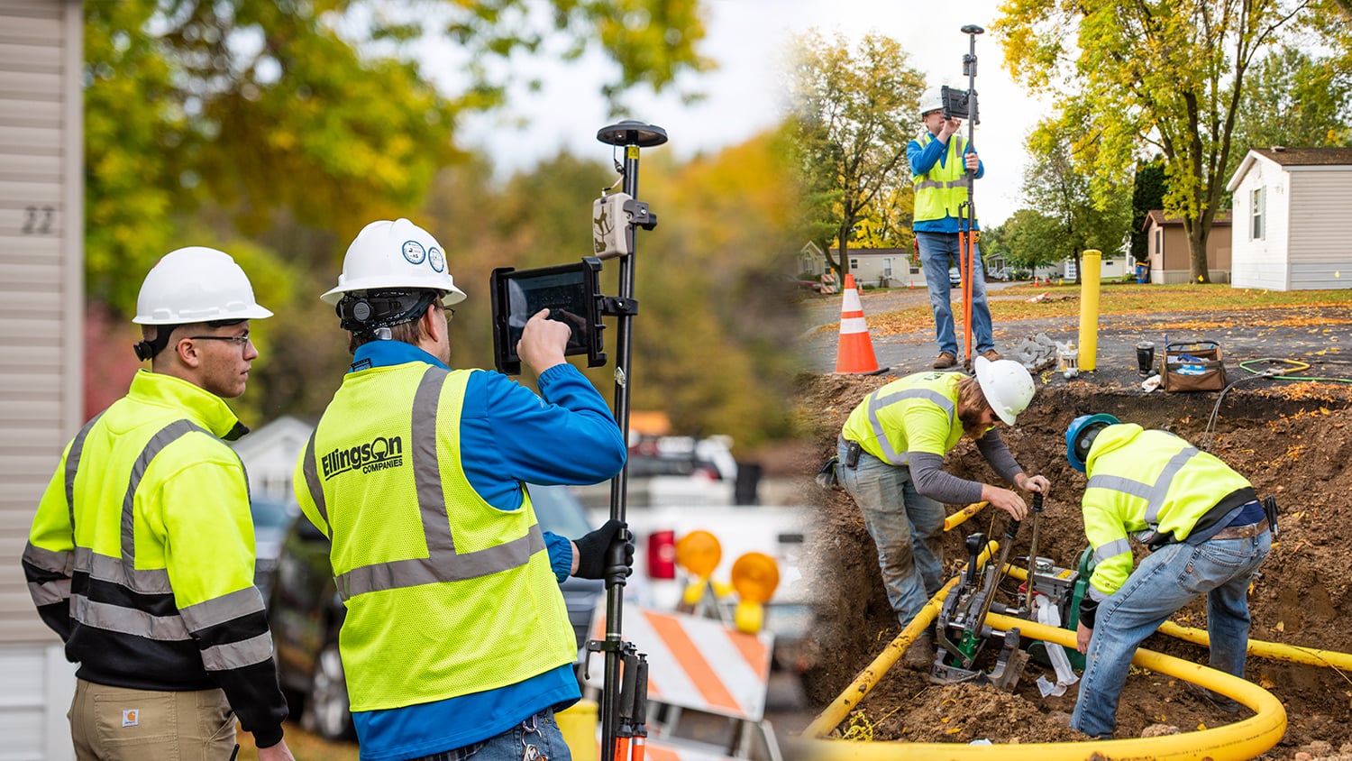
Map pipeline centerlines and welds during construction, capture as-builts before backfill, and locate buried lines later with Eos Locate for ArcGIS—all with one receiver family.
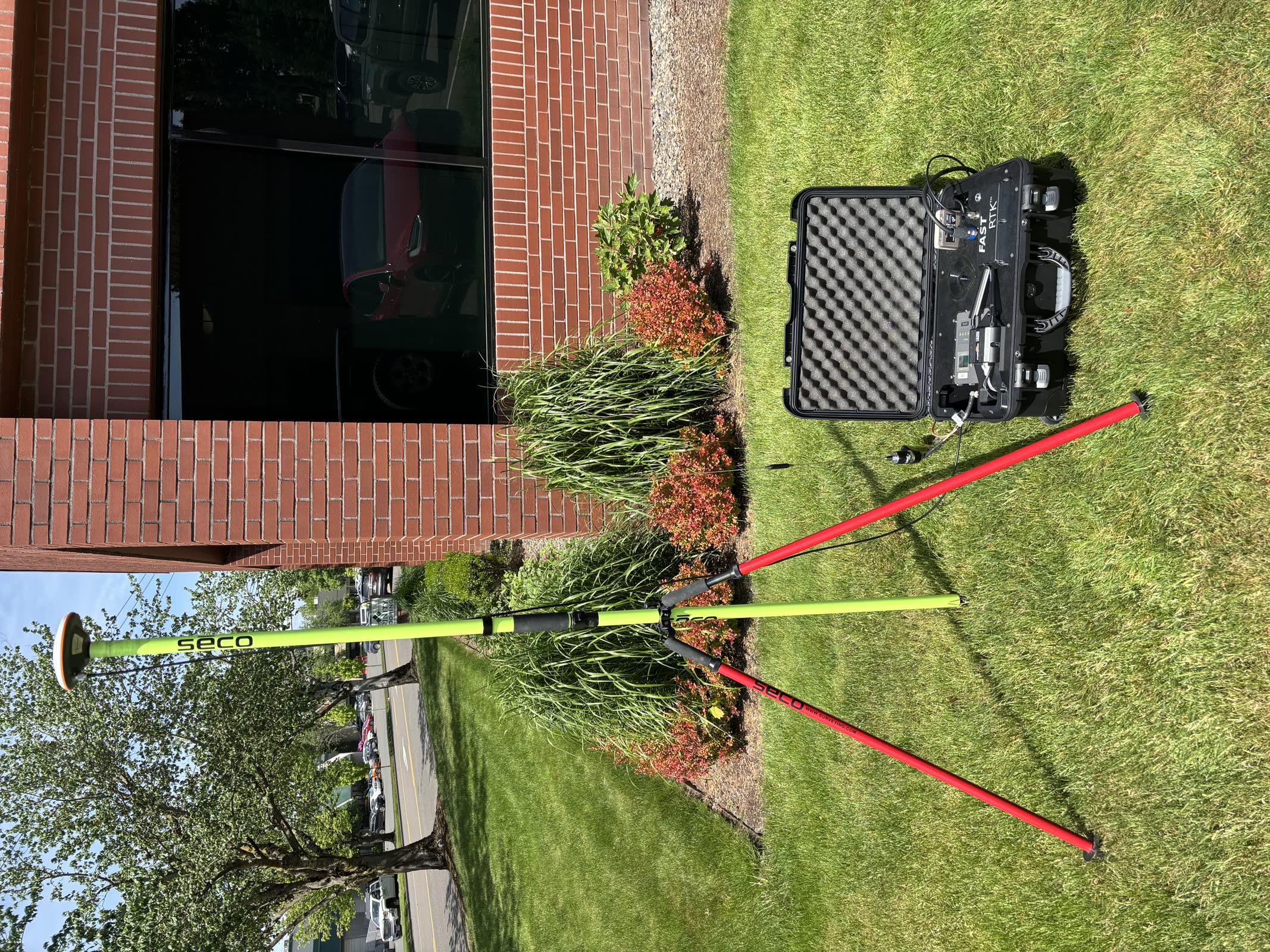
For remote corridors without network coverage, our FastRTK mobile base kits deliver centimeter accuracy wherever the project goes.
Proven on pipeline projects
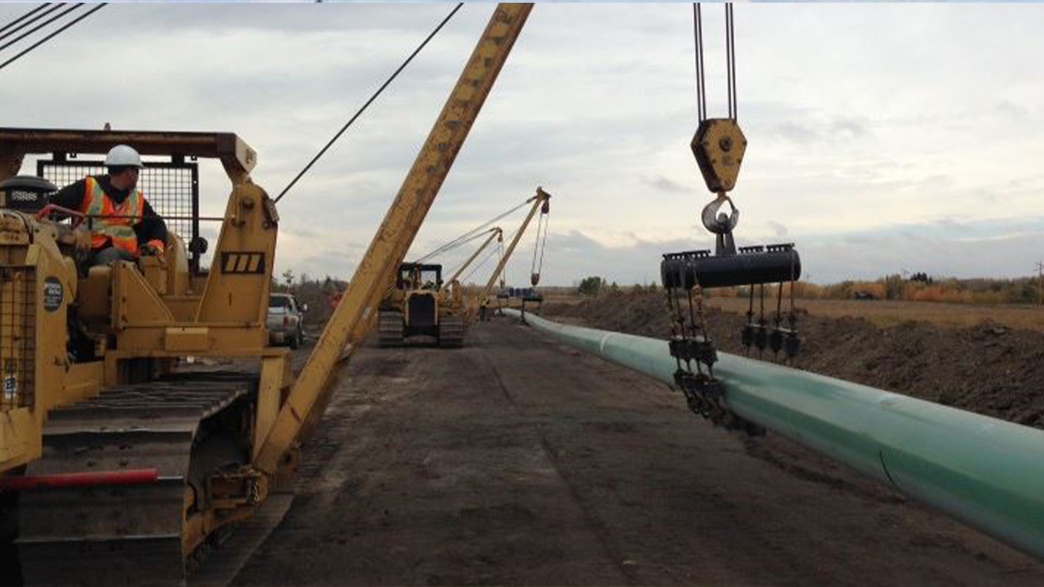
From midstream operators in the Permian Basin to pipeline construction QA/QC crews in Canada, Eos GNSS keeps critical assets accurately mapped.
Bring confidence to your pipeline data
Tell us about your assets, your GIS, and your reporting requirements. We will recommend receivers, corrections, and software that fit your operations.