
Case Studies
Real projects where utilities, agencies, and field teams put high-accuracy GNSS to work with Digital Mapping Group.
Customer stories
Results in the field
Every story below is a customer we equipped, trained, and supported—from the first quote to production data in their GIS.
 Electric Utility
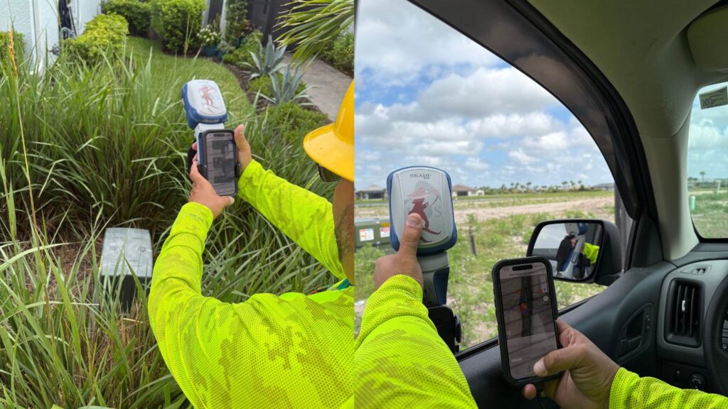
NISC and High‑Accuracy GNSS: The Workflow Upgrade Powering LCEC’s Growth
By integrating NISC mobile with the Skadi Smart Handle, Lee County Electric Cooperative improved mapping precision, sped restoration, and scaled operations during growth.
Read the story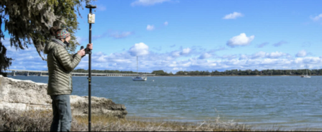 Archaeology
South Carolina DNR
Racing the tide to record what is left
Edisto Island has lost three quarters of a mile of shoreline in 70 years. Students now map artifacts to submetre accuracy in real time — and refocus the dig mid-season when the data says to.
Arrow 100® · ArcGIS Survey123
Read the story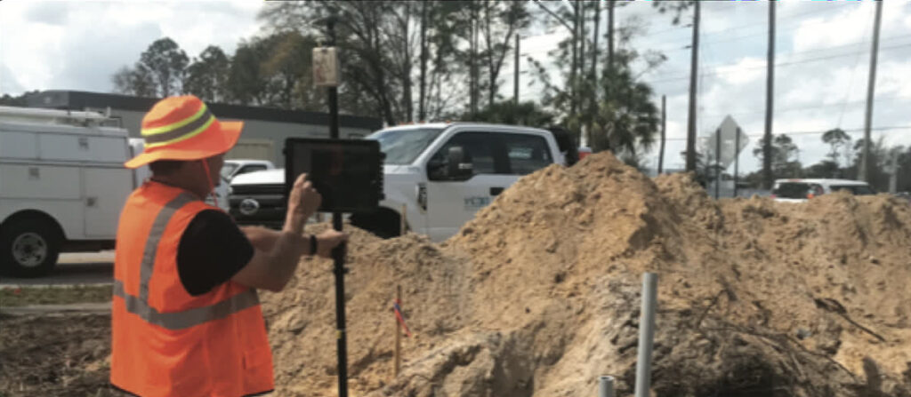 Electric Utility
New Smyrna Beach Utilities
A digital twin of assets buried in the 1970s
CAD as-builts put transformer pads "a hundred feet that way, down the road." Field crews now verify and correct the real thing, and the utility trusts its own map again.
Arrow Gold® · ArcGIS on iPad
Read the story Electric Utility
Sheboygan Falls Utilities
Mapping brought back in house
Decades of hand-written as-builts went to a contractor every year. Line workers now capture the primary and secondary network themselves, and the data is usable the same day.
Arrow 100® · ArcGIS Field Maps
Read the storyPrint editions
Case studies to download and share
Printable versions for your team, your board, or your next budget conversation.
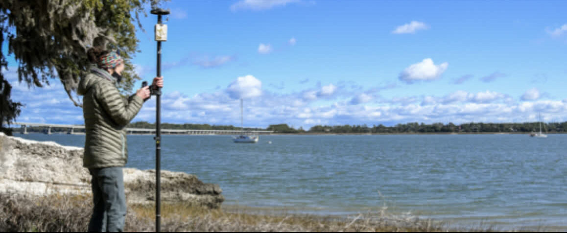
South Carolina Department of Natural Resources
Using technology to preserve cultural artifacts threatened by coastal erosion. Students map artifacts to submeter accuracy in real time on Edisto Island.
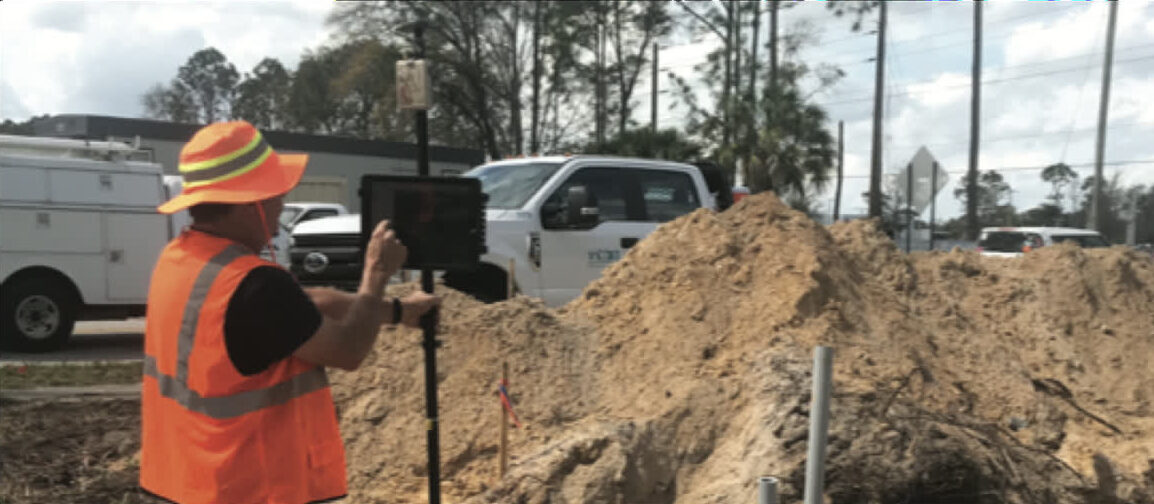
New Smyrna Beach Utilities
Field workers collecting real-time, centimeter-accurate data for asset locations—building a digital twin of the electric network the utility can trust.
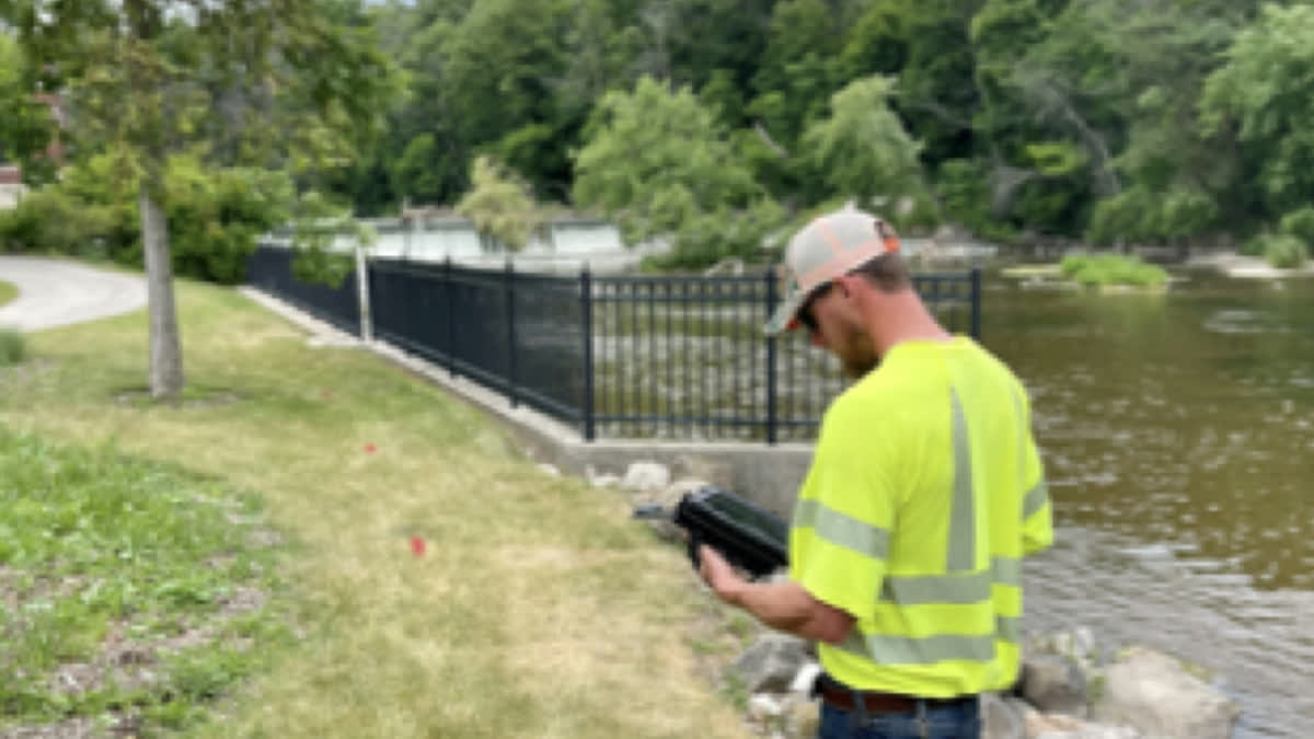
Sheboygan Falls Utilities
Line workers mapping primary and secondary networks in-house with submeter accuracy, replacing decades of hand-written as-builts.
Have a project worth sharing?
If your crew is doing something interesting with high-accuracy GNSS, we would love to tell the story. And if you are just getting started, let’s talk about what is possible.