
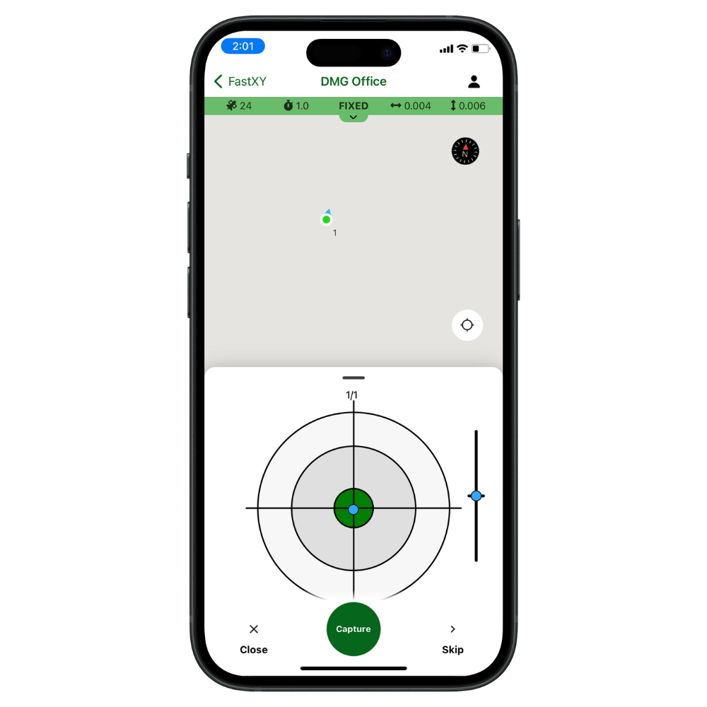
FastXY
GNSS data collection app
Talk to a GNSS specialist about your project
- Expert Configuration
- Training & Support
- US-Based Service
FastXY
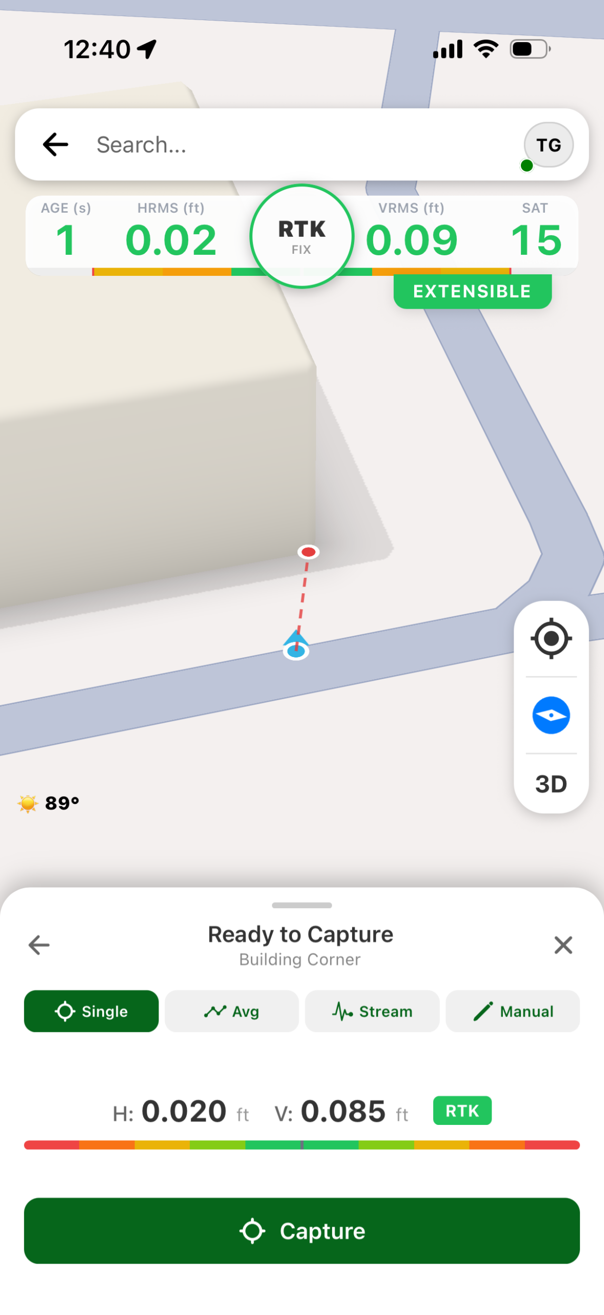
The FastXY software is an indispensable tool for efficient and accurate geospatial data collection, designed to streamline your workflows with unmatched precision and flexibility. This robust application empowers field professionals to capture detailed location data directly on their mobile devices.
Ready to get started? Click Order Now and we’ll connect you with a local dealer.
Discover more by visiting the FastXY website.
Key Features
Ideal for environmental mapping, utility asset management, and land surveying, providing dependable precision for various geospatial applications.
Designed to work fully offline, ensuring seamless data collection even in remote areas without internet access.
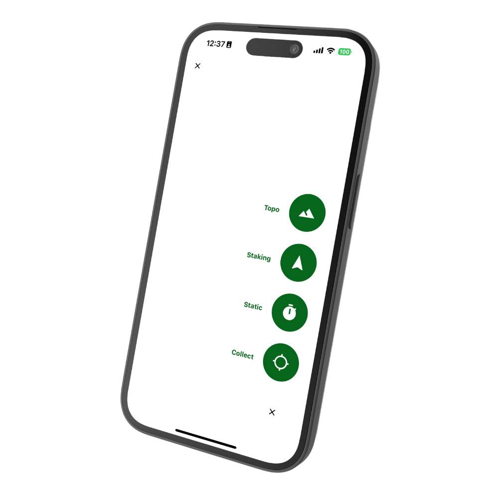
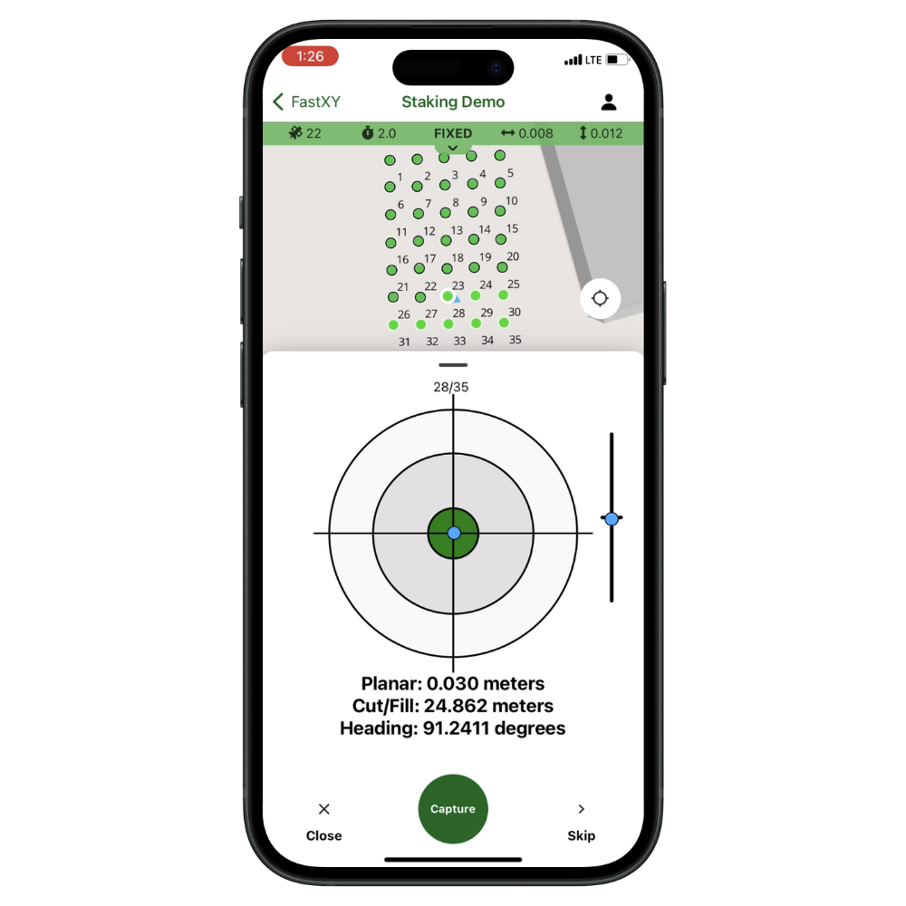
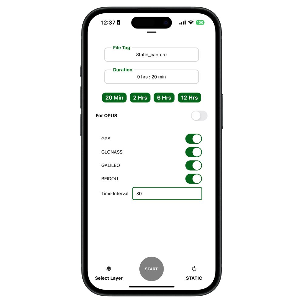
Offers extensive import and export options, supports various file formats and coordinate systems, and provides workflows for collecting points, lines, and polygons, staking, and high-accuracy static data collection.
Create unlimited points, lines, polygons, maps, and layers. Features like Smart Datums, a 3D map for referencing and sky obstruction checks, and Capture Lock ensure efficient and precise data collection.
Watch Our FastXY App in Action
Ready to see how FastXY can streamline your workflow? Watch our quick demo to see the app’s powerful features and workflows
| Brand | |
|---|---|
| Use Case |
Related products
-
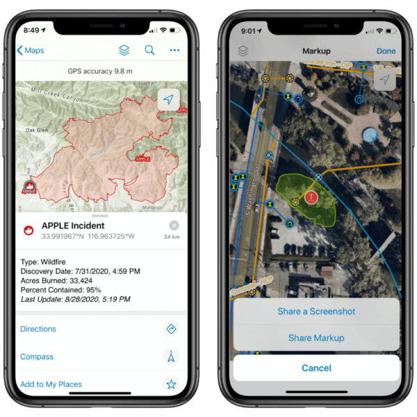 Data Collection Software
ArcGIS Field Maps
Esri field mapping
- Esri field app
- Works with any Arrow or Skadi
- Offline capable