
Newsroom
Announcements, reference articles, and industry coverage on high-accuracy GNSS, RTK, and mobile GIS—curated by our team.
INDUSTRY articles
Source: GPS World
Selected articles on GNSS, PNT, and satellite navigation technology.

Stacked Rovers: Surveying and Mapping Benefits from Multi-Sensor Stacks
How combining GNSS, laser, and other sensors on one pole changes what a single crew member can capture.
First all-Canadian Antarctic Expedition Creates Underwater Maps Using GNSS Technology
High-accuracy GNSS at the bottom of the world—mapping beneath the ice with equipment you can carry.
GPS World Magazine – June 2025 Edition
The full digital issue, including coverage of the high-accuracy GNSS market for GIS users.
Eos Positioning Systems Unveils High-Accuracy GNSS Receivers
The Arrow 200+, 300+, and Gold+ announcement and what the new lineup means for mapping crews.
From the archive
Selected Reading from GPS World
Still some of the most-read explainers on the fundamentals.
What Exactly Is GPS NMEA Data?
The sentence-by-sentence explanation of the data stream every GNSS receiver produces.
Finally, A List of Public RTK Base Stations in the US
Where to find free and public RTK corrections, state by state.
The Great American Solar Eclipse of 2017 – GIS Style
Mapping the path of totality with GIS tools—and what it taught us about field data collection.
3D GNSS Data & The GEOID
Why your ellipsoid height is not your elevation, and how the geoid bridges the gap.
UAVs, High-Accuracy GNSS: Red-Hot, Right-Now Tech
How drones and survey-grade GNSS grew up together.
GIS Users Come From Every Field
A look at who is actually collecting high-accuracy data—and why it is rarely a surveyor.
Esri Cultivates Mobile GIS Apps
The evolution of Esri’s mobile apps and what it means for external GNSS receivers.
More Reading
New Insights
Explore industry trends, practical field advice, and useful tips for GIS and AEC professionals on the Insights blog.
-
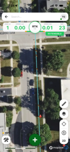
FastXY App: High-Precision GNSS & Offline-First Mobile Mapping
The FastXY Application delivers efficient GIS/AEC Workflows for Professional Field Data Collection In field data collection operations where precision…
-
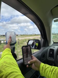
Next-Gen Utility Workflows
How Electric Utilities Are Solving Overhead and Underground Mapping Challenges with the NISC iVUE and the Eos Skadi Smart…
-
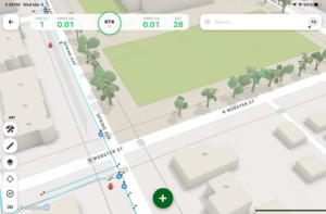
Announcing FastXY: Digital Mapping Group’s New Mobile GNSS Product Line
Digital Mapping Group has officially launched FastXY, a high-precision GNSS mapping application available for iOS and Android, as detailed…
-
Eos begins end-of-life for the original Arrow Series
Arrow Lite, Arrow 100, Arrow 200 and Arrow Gold are being retired. Eos will support them for at least five more years, and we can help you plan the move to the Arrow plus or Skadi Series.

Mapping Your Success
Want highlights delivered to your inbox? Mapping Your Success, DMG’s monthly newsletter, brings together selected articles from Insights, plus demonstrations and how-to resources from the Learning Center.