
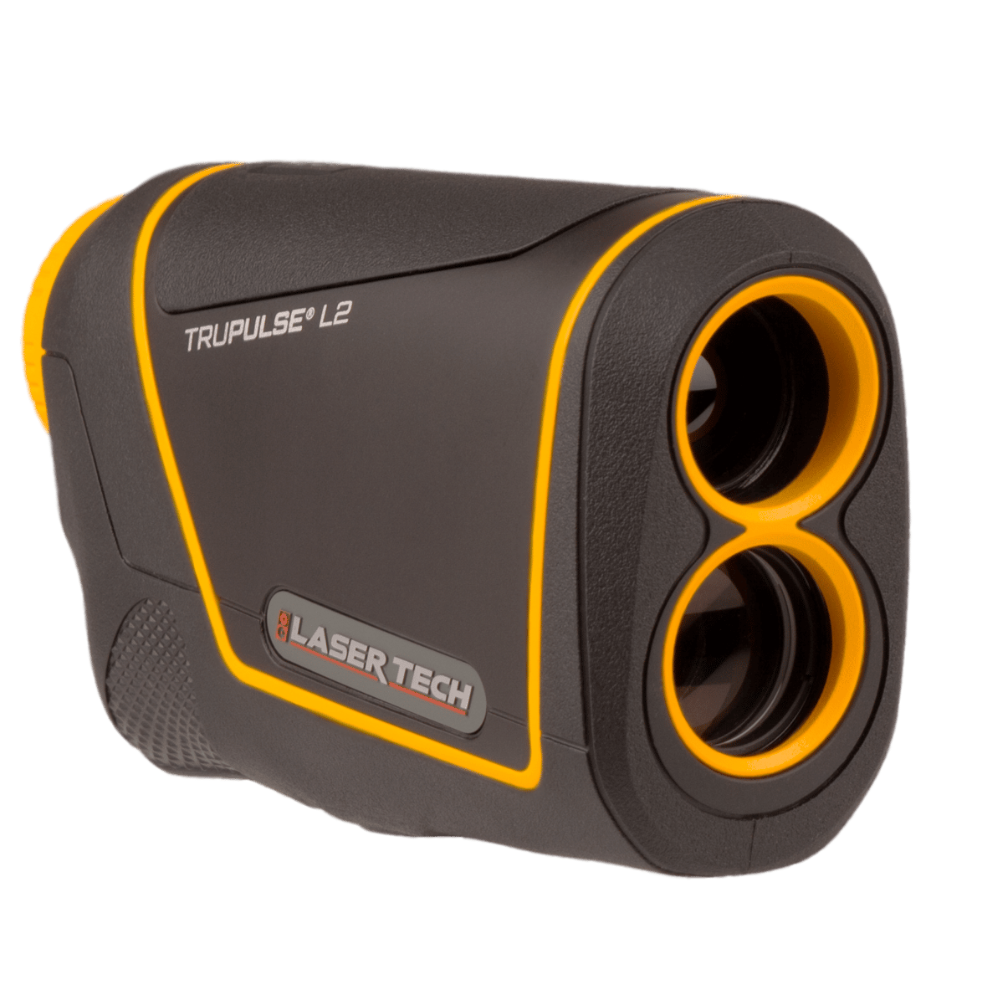

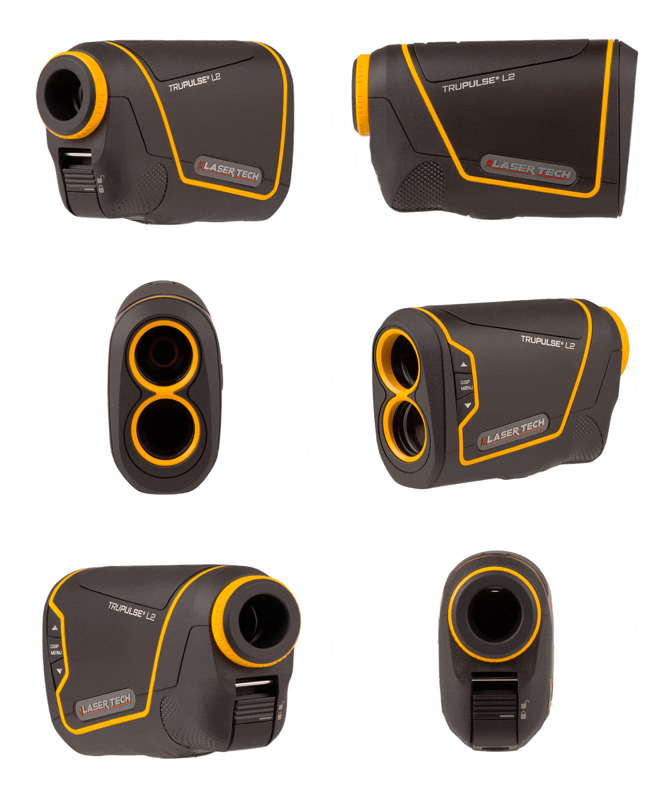
TruPulse L2
Entry laser rangefinder
Talk to a GNSS specialist about your project
- Expert Configuration
- Training & Support
- US-Based Service
TruPulse L2 Laser Rangefinder
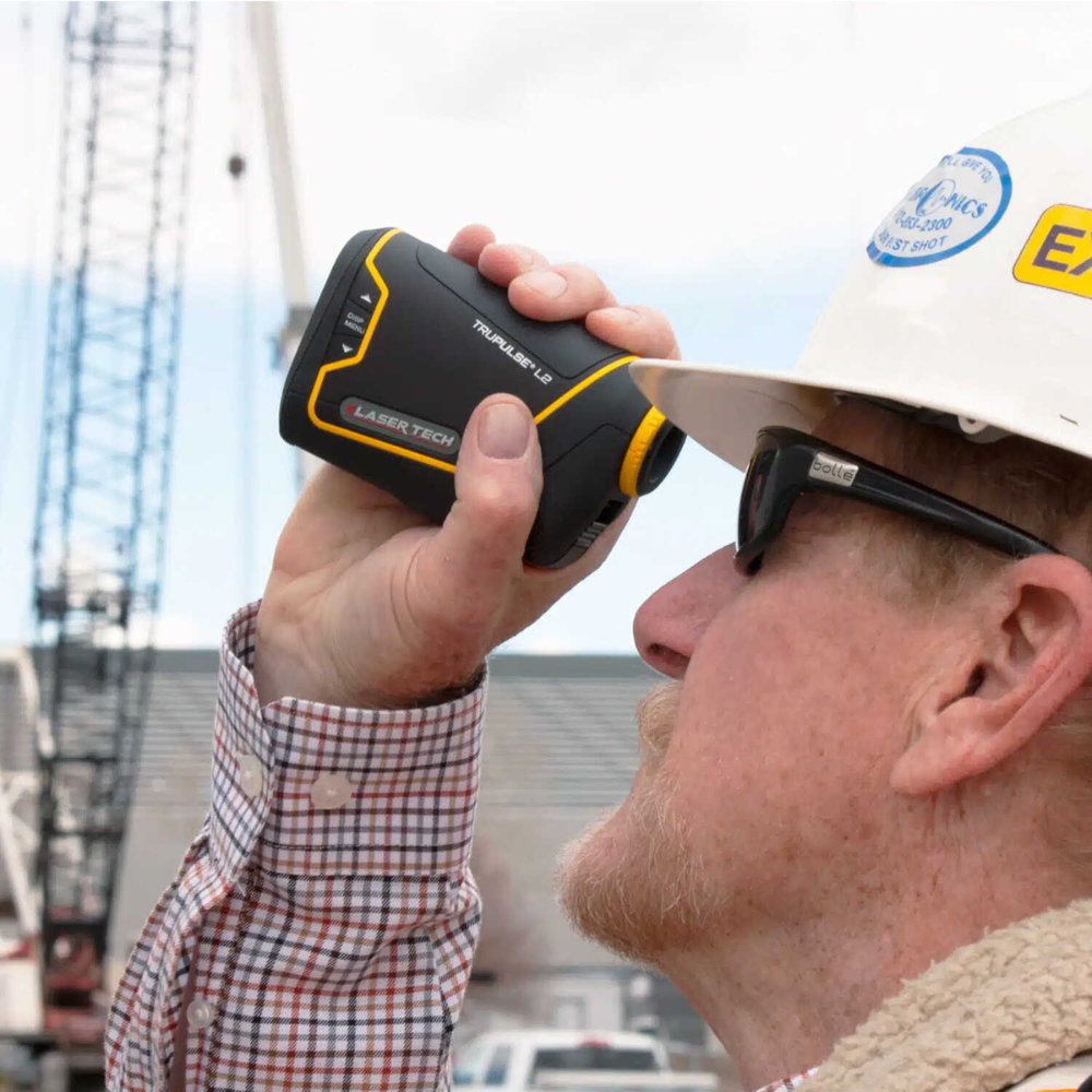
The TruPulse L2 Laser Rangefinder is a next-generation essential for professionals requiring precision and efficiency in their field measurements. This compact, accurate, and intuitive device is designed for a wide range of professional applications, empowering users to capture detailed measurements quickly and safely.
Ready to get started? Click Order Now and we’ll connect you with a local dealer.
For all the technical details, including specifications and features, you can download the TruPulse L2 Laser Rangefinder data and information sheet here.
Key Features
Measures slope distance and inclination, and calculates horizontal distance, vertical distance, height, and 2D missing line values, providing versatile solutions for various projects.
Features increased distance accuracy, faster target acquisition, and improved scope magnification with greater light transmission, ensuring reliable results even in challenging conditions.
Built to withstand harsh environments with an IP67 waterproof and dustproof rating, and offers an intuitive interface with automatic brightness display and tactile feedback for ease of use.
Easily integrates with GIS field apps and GNSS devices for efficient asset collection workflows, making it an ideal tool for forestry, GIS/GPS mapping, public works, and more.
Similar Products
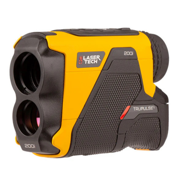
TruPulse 200i Laser Rangefinder
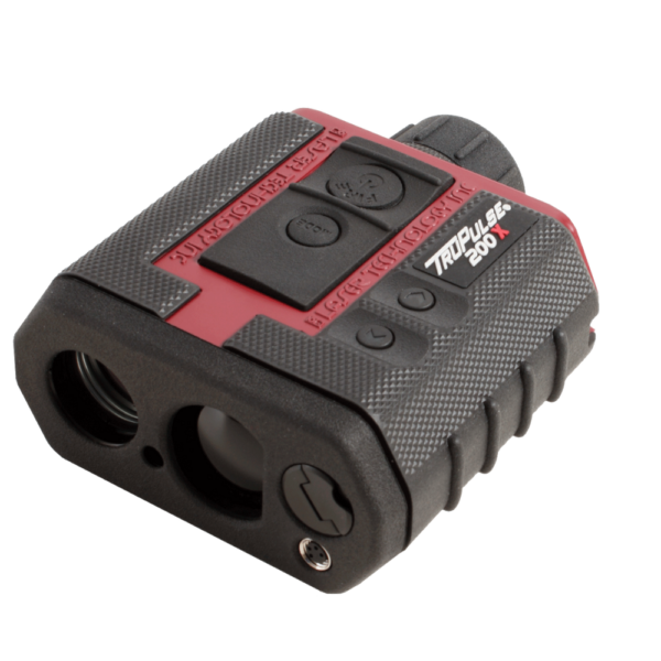
TruPulse 200X Laser Rangefinder
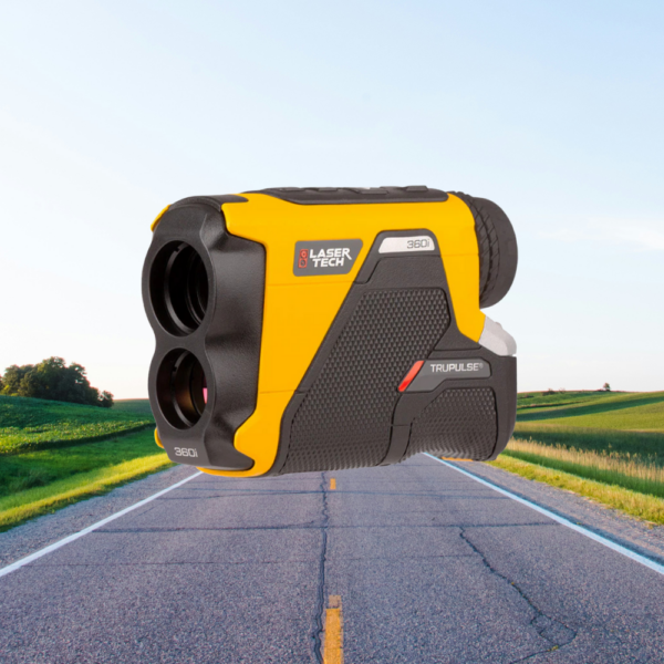
TruPulse 360i Laser Rangefinder
| Brand | |
|---|---|
| Accuracy | |
| Use Case |
Related products
-
 Laser Rangefinders
 -
 Laser Rangefinders
TruPulse 360i
Laser rangefinder w/ compass
- 2,500 m range
- TruVector 360 compass
- 0.1 m accuracy
-
 Laser Rangefinders