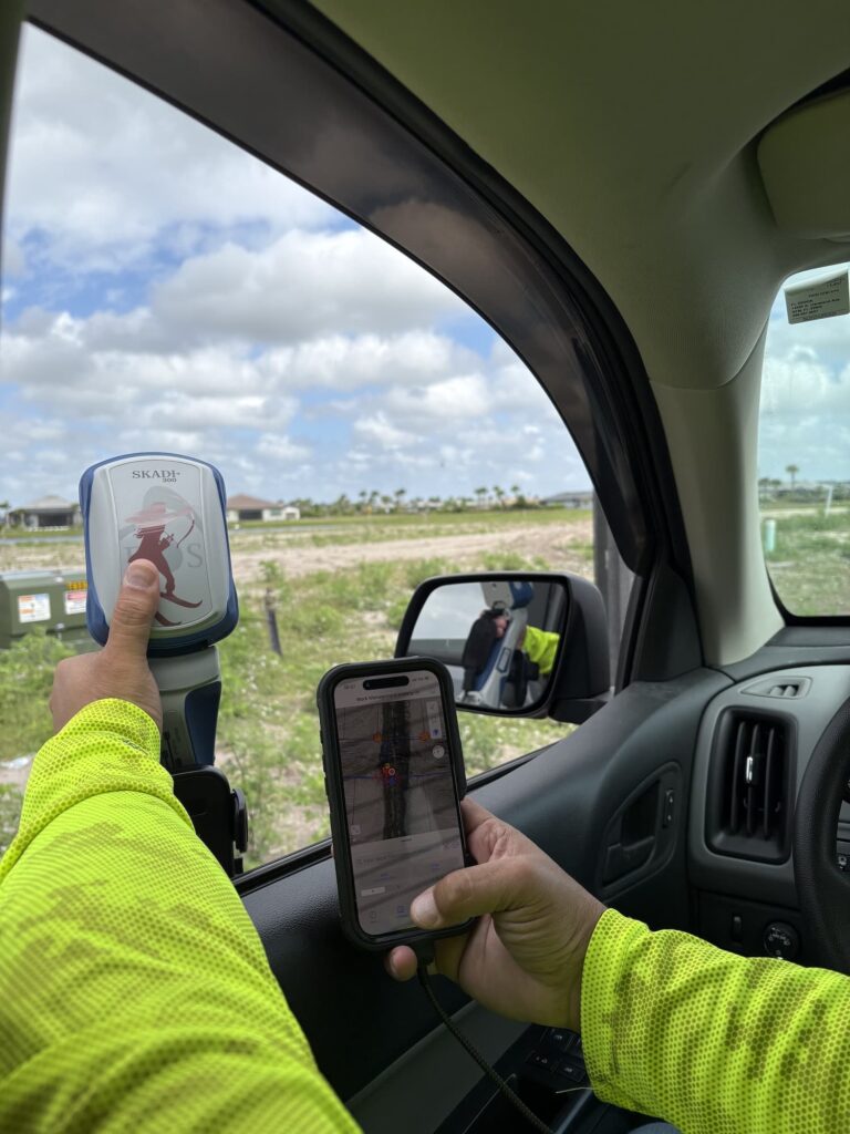
The Skadi Series™ spans four receivers, and the question we field most often is which one someone actually needs. The honest answer is that it usually comes down to two things: the accuracy your deliverable requires, and what correction sources you can reach where you work.
What every Skadi shares
All four track GPS, GLONASS, Galileo and BeiDou, pair over Bluetooth® to iOS®, Android™ and Windows®, and work with any app that accepts a standard location source — including ArcGIS Field Maps. All four carry SBAS corrections as standard, and all four run a full field day on one battery.
Where they differ
- Skadi 100 — single frequency, 30–60 cm with SBAS. The right tool for asset inventory where submetre is enough.
- Skadi 200 — dual frequency, 1–3 cm RTK. The entry point to centimetre work.
- Skadi 300 — triple frequency, 8 mm RTK, plus SafeRTK® to hold accuracy through correction dropouts.
- Skadi Gold — all frequencies, 8 mm RTK, free Galileo HAS worldwide and Atlas® L-band for sites with no network at all.
Tilt and the Smart Handle
Skadi Tilt Compensation™ removes the need to level the pole, adding only 0.3 mm of error per degree of tilt. The Smart Handle™ adds a laser offset that reaches up to 7 m (23 ft), so you can shoot a point across a trench or behind a fence without standing there. Both are available on the RTK models as upgrades.
Not sure where you land? Send us the accuracy spec on your deliverable and where you are working. That is usually enough for us to point you at one model.