Extreme Urban Mapping: Extending GNSS with Sensor Integration
Explore DMG’s Extreme Urban Mapping webinar highlights: three laser offset workflows for utility and construction crews mapping hard-to-reach assets.

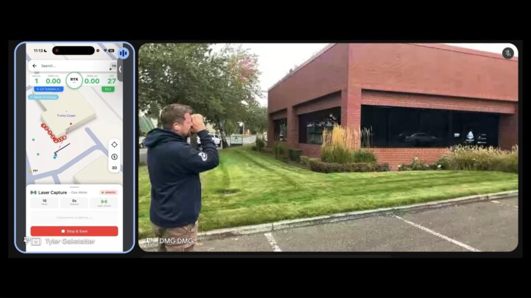
Explore DMG’s Extreme Urban Mapping webinar highlights: three laser offset workflows for utility and construction crews mapping hard-to-reach assets.
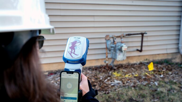
high-precision hardware evaluation
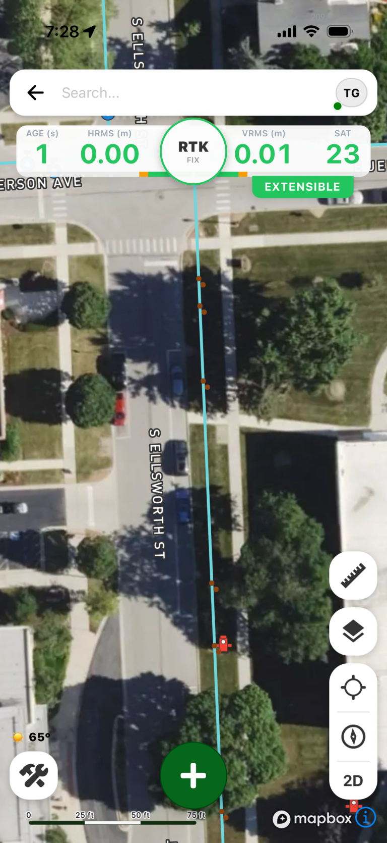
The FastXY Application delivers efficient GIS/AEC Workflows for Professional Field Data Collection In field data collection operations where precision…
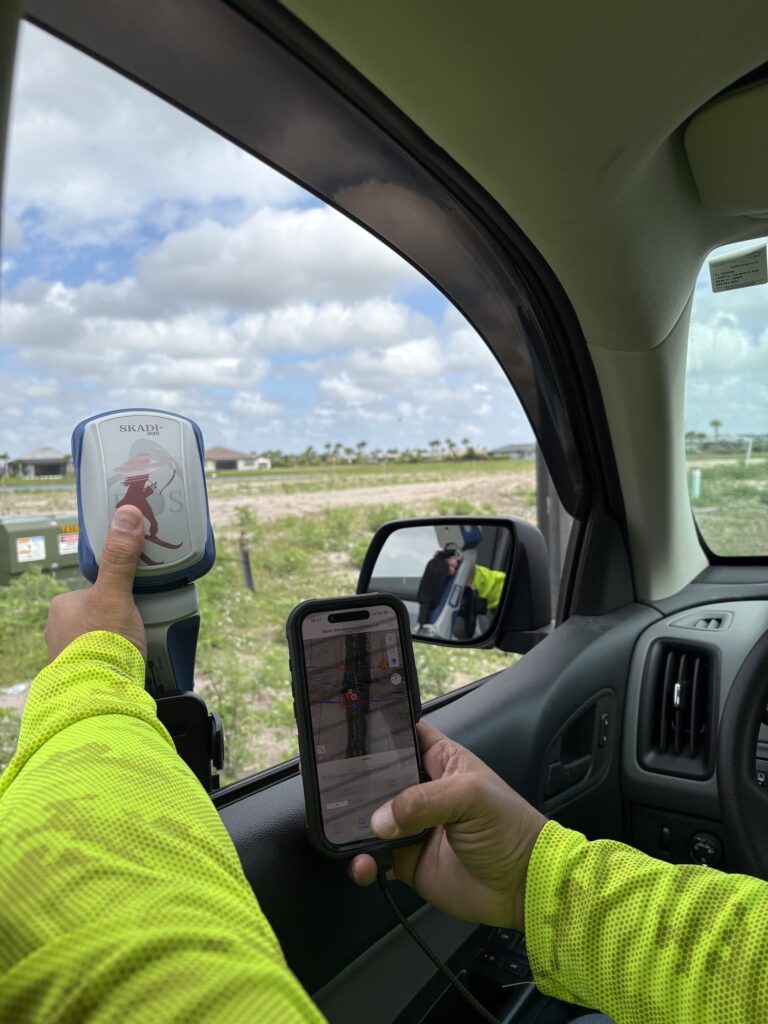
How Electric Utilities Are Solving Overhead and Underground Mapping Challenges with the NISC iVUE and the Eos Skadi Smart…
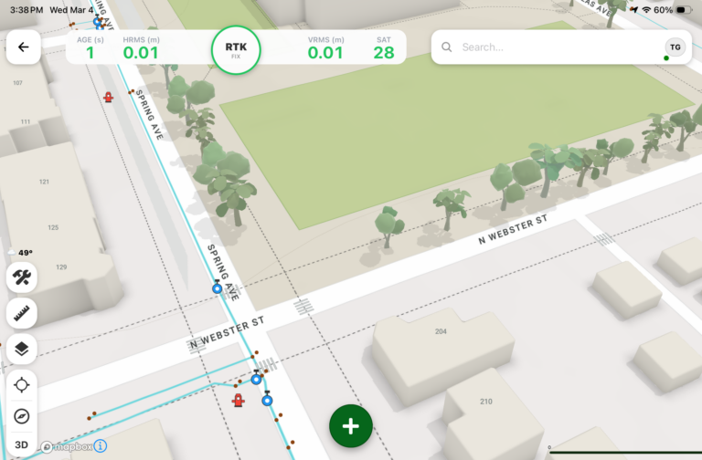
Digital Mapping Group has officially launched FastXY, a high-precision GNSS mapping application available for iOS and Android, as detailed…