How Electric Utilities Are Solving Overhead and Underground Mapping Challenges with the NISC iVUE and the Eos Skadi Smart Handle
Across the electric utility sector, maintaining precise asset location data is no longer a luxury—it is critical for operational resilience, safety, and rapid service restoration. By utilizing NISC’s iVUE AppSuite software, which offers dedicated support for the Eos Skadi GNSS receiver and Skadi Smart Handle, utilities are solving two of their most persistent field challenges: recovering from major storm damage and locating invisible, buried infrastructure.
Part 1: Strengthening Resilience at Lee County Electric Cooperative
For over 85 years, Lee County Electric Cooperative (LCEC) in Southwest Florida has prioritized reliable service for its members. Operating as a non-profit distribution cooperative, LCEC relies on its nine-person System Graphics team to accurately map its expansive electric network. While the cooperative successfully integrated the NISC Enterprise System (powered by Esri’s ArcGIS®) in 2018, legacy field hardware was holding their operations back.
See the Workflow in Action
NISC members can ask questions or see a live demo of this workflow—featuring the NISC iVUE® app, Eos Skadi receiver, and Skadi Smart Handle—at the upcoming NISC Member Information Conference. The event is scheduled for September 14 to 17, 2026, in Las Vegas, NV. Stop by booth 504 to visit Eos Positioning Systems and learn how to elevate your utility’s mapping accuracy.
The Challenge: The Need for Pinpoint Accuracy
As LCEC’s service territory expanded with rapid community growth, older GPS equipment became a bottleneck. The legacy hardware only delivered less accurate horizontal data and provided no elevation data. When severe storms damaged or swept away utility poles, imprecise coordinates hindered fast restoration. Furthermore, without vertical accuracy, field crews struggled to assess flood risks to critical assets.
The Solution: A Streamlined, One-Handed Field Workflow
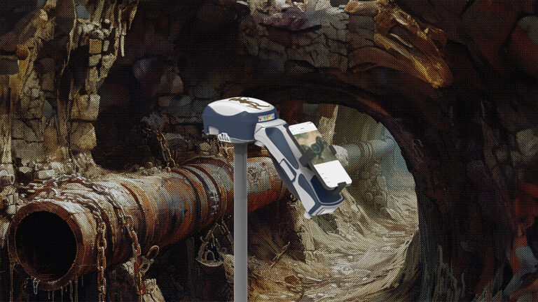
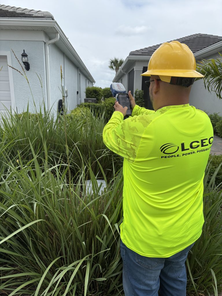
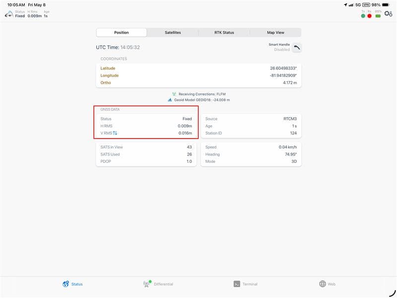
LCEC deployed Eos Skadi 300™ RTK GNSS receivers paired with the Skadi Smart Handle. GIS Specialist Gus Otero configured the equipment to connect directly to NISC’s iVUE AppSuite software, which fully supports Eos Skadi hardware out of the box. Field technicians could instantly hold both the receiver and an iPad® in one hand—eliminating bulky surveying range poles—while leveraging free RTK corrections to gather centimeter-level horizontal and vertical data.
The Impact: Faster Restorations and Clean Data
The new setup allows technicians to capture data on the move, dramatically reducing field time on large installations. The precise location data corrected long-standing mapping errors—such as meters appearing inside buildings on maps when they were actually outdoors.
“With this improved workflow, we save time collecting GPS data, help our linemen return to their work faster, locate assets more easily during restoration or damage claims, and restore power more quickly.”
— Leah Maldonado, Supervisor of System Graphics, LCEC
Part 2: Field Insights: Precision Line Navigation for Underground Infrastructure
While LCEC’s work demonstrates the power of high-accuracy GNSS for overhead assets, underground utilities present an entirely different challenge: once the dirt is backfilled or a subdivision is paved over, visual landmarks vanish.
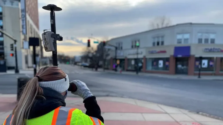
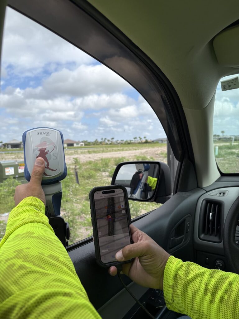
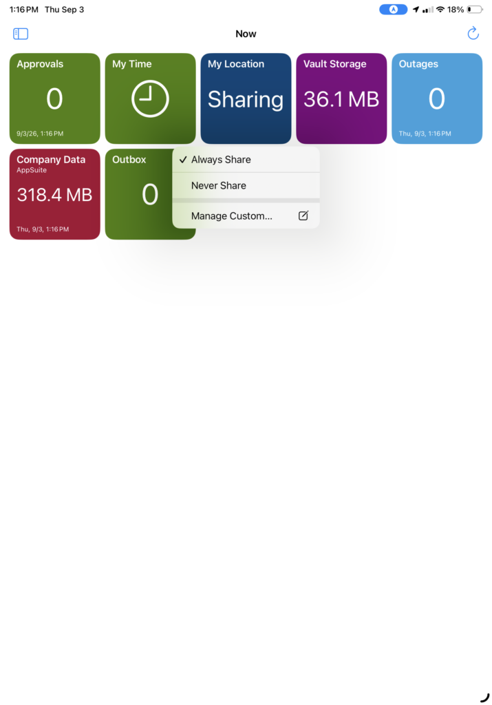
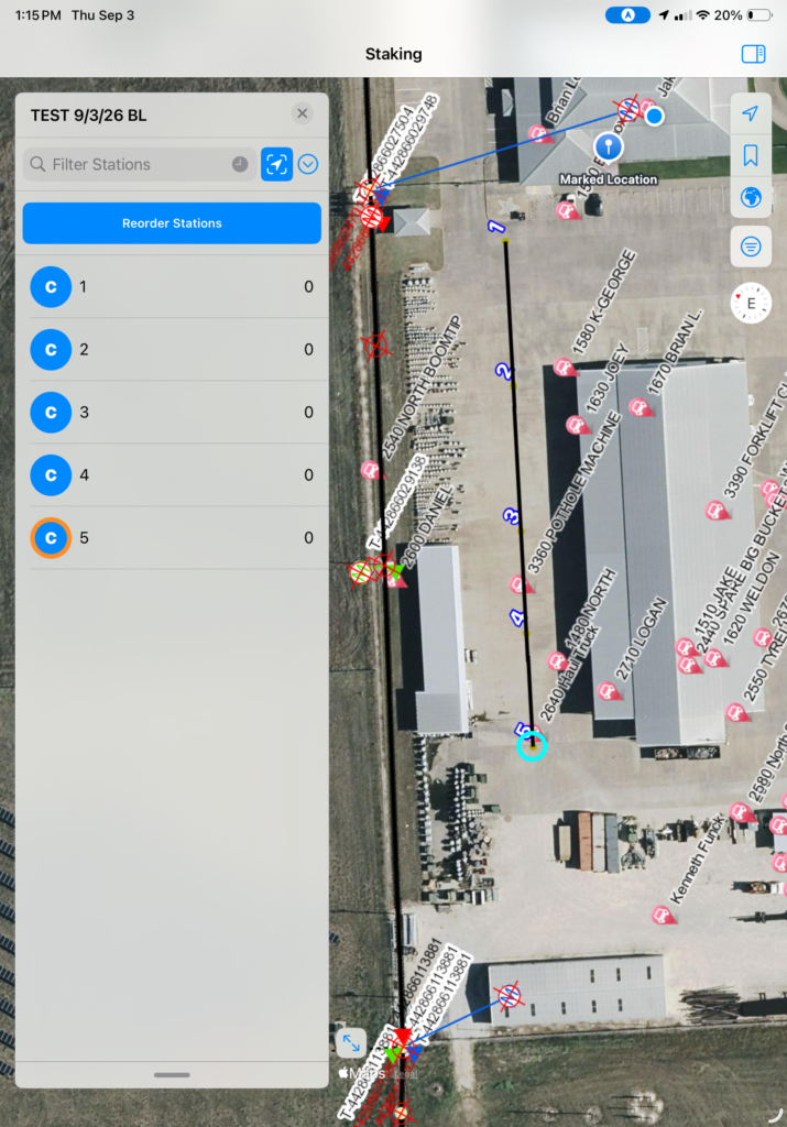
In a recent field test highlighted by Texian Geospatial and Asset Solutions, LLC, a field operator put the Eos and NISC integration to the test on an active job site using the NISC iVUE® app.
“It’s important for field techs to be able to navigate back to the exact line and points after it’s buried, or subdivision is completed. iVUE does some cool stuff like dividing spans.”
Validating the Workflow in the Field
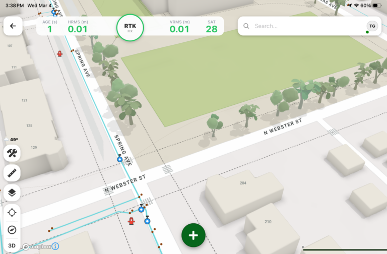
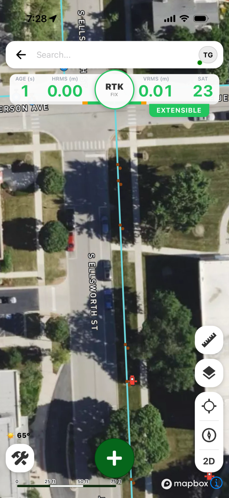
The operator tested the system by capturing two exact high-accuracy endpoints and drawing a utility span between them within NISC iVUE®. The application automatically calculated and subdivided the span, generating precise, repeatable coordinates along the entire line.
The Value: Eliminating the Guesswork After Burial
For underground distribution networks and fast-moving subdivision developments, ground conditions change rapidly. Grade changes, fresh asphalt, and new construction quickly obliterate surface markers. By using sub-inch GNSS data alongside NISC iVUE® to define spans during installation, field crews retain a permanent “x-ray vision” of the site. Technicians can return weeks or years later and navigate directly back to the exact buried line or junction point without unnecessary digging or time-consuming secondary locates.
Precision Location as an Operational Advantage
Whether managing above-ground infrastructure during hurricane recovery or navigating back to buried utilities in a newly built neighborhood, high-precision Eos Skadi GNSS hardware integrated directly with NISC’s iVUE AppSuite software workflows provides a single source of truth. By removing the friction from field data collection through robust software support for Eos Skadi receivers and Smart Handles, utilities ensure their field crews stay safe, work faster, and deliver more reliable service to their communities.
To read the full case study and learn more about the equipment used, you can visit the original Eos Positioning Systems article here.
Special thanks to Texian Geospatial and Asset Solutions, LLC for their field testing assistance and technical contributions.